

Starting from my car into the open desert.
I passed a bunch of ridges, none of which would take me to the summit. There were a fair number of washes and minor drainages that kept slowing progress, but overall the first half of the desert walk was easy.
The terrain did become a little rockier as I entered a basin-like feature, but was moreso just a section of desert nestled between a bunch of ridges. I continued into the narrowing drainage visible ahead.
Within the drainage, approaching my ascent ridge, center.
Heading up the somewhat steep ascent ridge. Note the colorful sub-peak on the top left.
Looking back as I ascend.
Class 2 along the ridge, but mostly just an uphill dirt hike.
Looking back into the drainage as I ascend the ridge. I came from the desert in the top left.
Close-up to the north of the colorful sub-peak.
Looking back again.
Nearing the false summit where I found this cool piece of history, a still-standing wooden survey marker.
Just below the false summit, view toward the true Iron Mountains High Point.
After dropping down to the saddle between the false summit and Iron Mountains High Point, I side-hilled on the left of some rocky crest terrain.
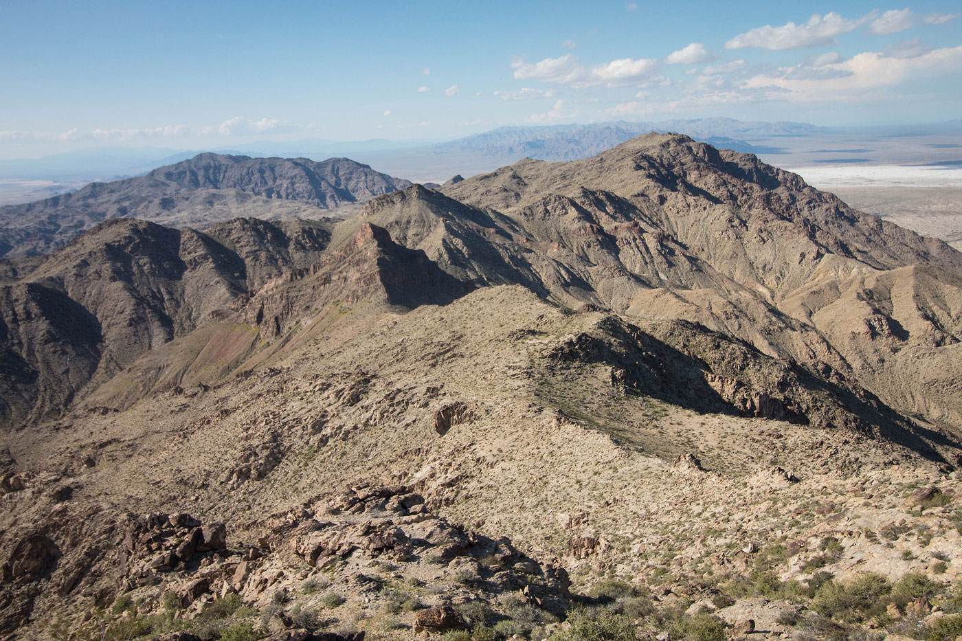
Iron Mountains High Point summit, view north toward the ridgeline.
Iron Mountains High Point, view southwest. You can see the false summit I came from on the far right.
Hire me or show me some love!
Hire/refer me as a web developer or send me a few bucks if you find my site useful. I’m not sponsored, so all fees are out-of-pocket and my time preparing trip reports is unpaid. I really appreciate it!