

Starting from the free parking lot, following the paved road heading west. We left it shortly after this bridge to head left and to start up dirt road switchbacks.
Along the dirt road switchbacks.
Nothing too great just yet.
View back after lots of road walking.
Still ascending.
Another shot back.
Approaching American Flyer Ski Lift. Behind it we'd ascend that steep hill.
Class 2 ascent up the steep hill just behind American Flyer.
Past the ski lift, we continued along the ridge up to Union Mountain.
Along the ridge on our way up to Union Mountain. While there wasn't a trail, it was easy tundra walking.
Union Mountain ahead.
View back as we make our way up to Union Mountain.
Union Mountain, view toward Jacque Peak.
Jacque Peak, just a ridgeline away.
View back toward Union Mountain. Some light Class 2 along the way. It gets a little rougher than this photo, but it's short-lived.
Tundra walking along the ridgeline to Jacque Peak.
View back.
Approaching Jacque Peak.
Wide shot looking back toward Union Mountain.
At the base of Jacque Peak, where the tundra ends.
Starting up the Class 2 base of Jacque Peak.
Looking back along the Class 2.
Class 2 up Jacque Peak.
One steeper section of Class 2 to get over a small rock outcrop.
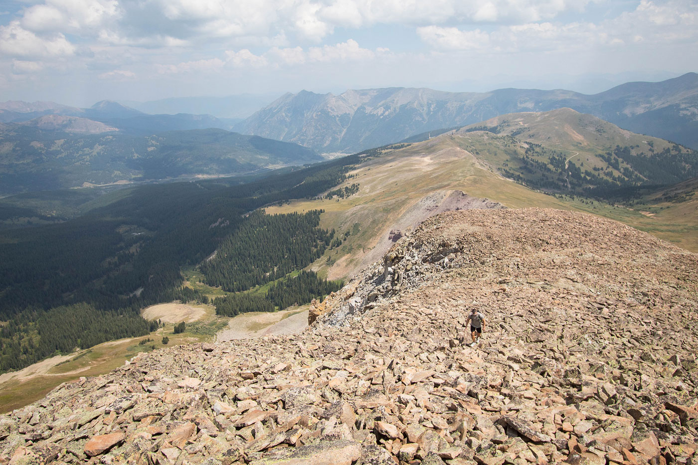
More boulder-hopping on flatter terrain to the summit of Jacque Peak.
Jacque Peak summit, view back toward Union Mountain.
Jacque Peak summit, view south.
Jacque Peak summit, view west.
Jacque Peak summit, view southeast toward the 13ers of the Tenmile Range.
Hire me or show me some love!
Hire/refer me as a web developer or send me a few bucks if you find my site useful. I’m not sponsored, so all fees are out-of-pocket and my time preparing trip reports is unpaid. I really appreciate it!