

I started past the locked gate.
Boring road walk at first.
Ascending slowly.
View back.
A junction, keep right and continue ascending.
Close-up toward Ox Frame Tank below, filled with water.
Continuing along the road - you can see it winding on the left.
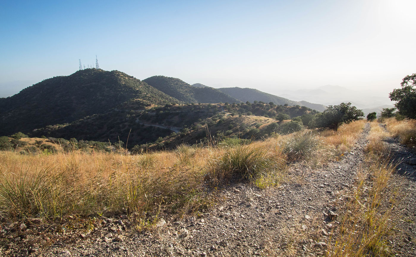
View across one of the many gullies as the road winds around the hills.
Some pleasant hilly views and good exercise, but it's just a walk on a road to Keystone Peak.
A cabin of some sort just off the road.
View back again.
Keystone Peak comes into view.
The road ascends ahead a little more steeply around Keystone Peak's west side.
View back as the road winds around on the west side of Keystone Peak.
Approaching Keystone Peak.
View back. There's some spur road on the left, not sure where that came from.
Summit of Keystone Peak. It was too hazy for any sort of good views, but Wrightson, etc. are visible on clear days.
View across the valley toward the road I ascended on.
I backtracked for a bit and then located this spur road that would lead to Keystone Peak North.
Close-up toward Keystone Peak.
Almost up to Keystone Peak North, view back toward Keystone Peak.
Keystone Peak North summit, view east.
Headed down an overgrown road back to the main road. Mount Wrightson is sort of visible through the haze in the distance.
Hire me or show me some love!
Hire/refer me as a web developer or send me a few bucks if you find my site useful. I’m not sponsored, so all fees are out-of-pocket and my time preparing trip reports is unpaid. I really appreciate it!