

View back from the trailhead before heading into Bonny Stairs Canyon.
The wide drainage exiting Bonny Stairs Canyon.
Bonny Stairs Canyon starts off very wide.
Narrowing a bit.
A little brushy, but never too bad.
Some rock-hopping within Bonny Stairs Canyon.
Continuing through Bonny Stairs Canyon as it narrows further.
A very cool formation on the left side of the canyon.
Above a dryfall that I bypassed.
Approaching a Class 3 dryfall.
Class 3 move to overcome a dryfall.
I left Bonny Stairs Canyon and ascended south though this gully.
Class 2 obstacles heading up the side drainage.
View back down toward Bonny Stairs Canyon.
Higher up the drainage becomes more tame.
And then it widens and I soon ended up on the east ridge of King Top.
View back at the top of the gully.
East ridge, view toward King Top.
Open terrain with a couple of undulation.
King Top, high point of the confusion range, seen ahead.
King Top ahead.
A possibly avoidable Class 3 cliff band seen below the summit ahead.
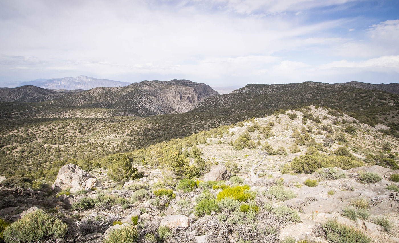
King Top summit, view toward Bonny Stairs Canyon.
Bonny Stairs Canyon right, Notch Peak left in the distance.
View south.
View north. I headed down to the meadow seen below.
Approaching the meadow.
Within the meadow, view back toward King Top.
Along a very old dirt road found at the edge of the meadow.
I took this old road to the head of Bonny Stairs Canyon.
After leaving the road and heading cross-country, an overlook into Bonny Stairs Canyon.
Class 2 steep descent into Bonny Stairs Canyon.
View back up the descent. I then followed Bonny Stairs Canyon back to my car.
Hire me or show me some love!
Hire/refer me as a web developer or send me a few bucks if you find my site useful. I’m not sponsored, so all fees are out-of-pocket and my time preparing trip reports is unpaid. I really appreciate it!