

Starting out along the Henrys Fork Trail.
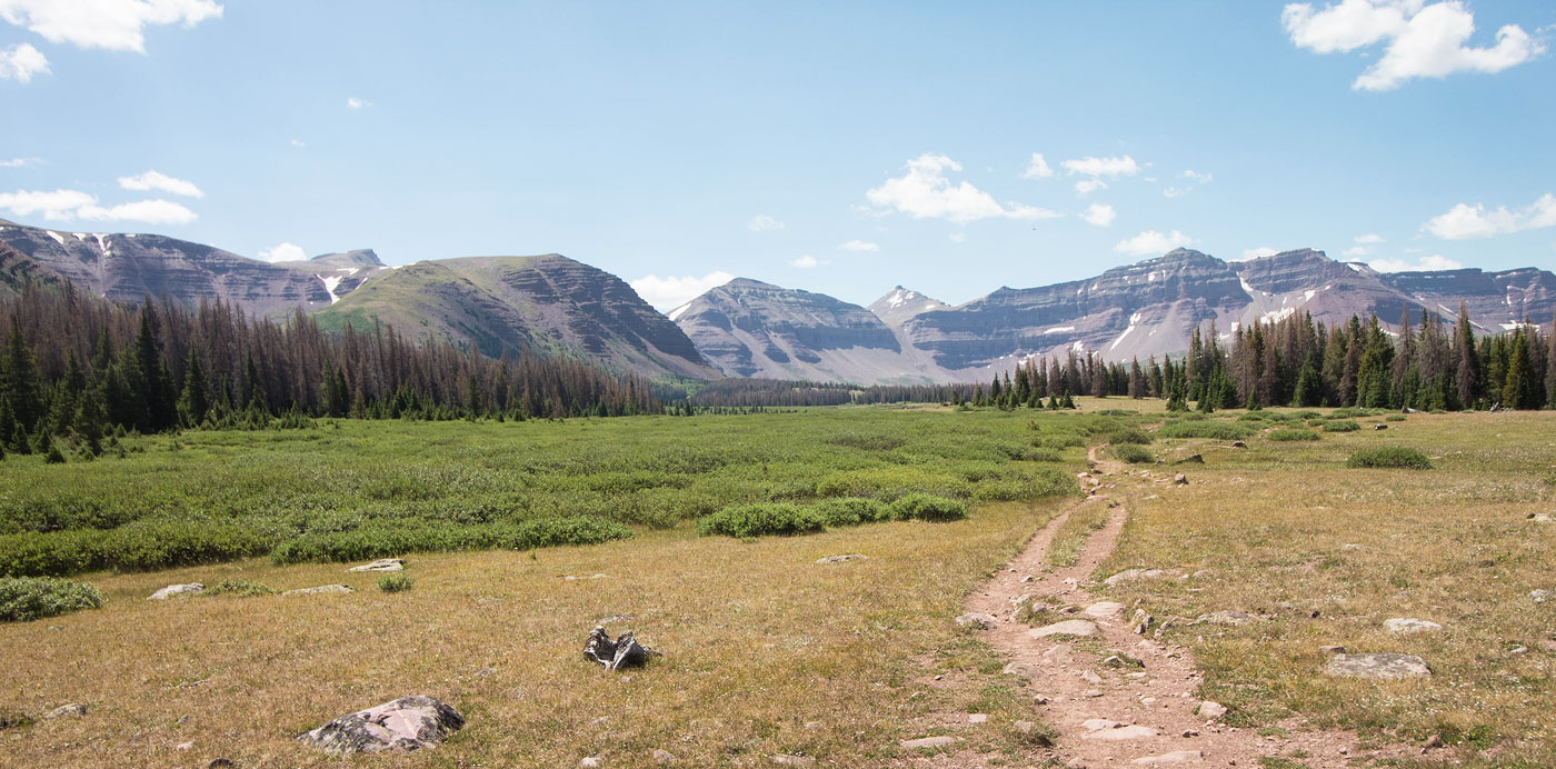
The hike is not particularly exciting for 5 or so miles, mostly flat through forest and sometimes paralleling the creek.
Finally, we got some mountain views as the trees began to fade away.
A trail junction, head straight.
Very pretty basin, but it really felt like a slog to get out to Kings Peak. Just so much mostly flat trail with only slightly changing views.
Kings Peak the peak poking out in the center.
Kings Peak center. The route heads far left, around Dome Peak (the one on the left).
Continuing to Gunsight Pass, center.
Looking back as we continue to Gunsight Pass.
Gunsight Pass ahead, Dome Peak on the right.
View back as we ascend the trail to Gunsight Pass.
A single switchback leads to Gunsight Pass, avoiding the Class 2 talus.
Looking back along the switchback, just below Gunsight Pass.
Gunsight Pass ahead.
At Gunsight Pass, view south. The standard route continues on the trail, descending to the left. The shortcut route (the way we went) continues to the right, just below the snow patch on the right.
Looking back toward Gunsight Pass (Gunsight Peak above) as we ascend the shortcut route.
Class 2 section along the shortcut route. We passed an out of shape dad and his two little girls, none of which had a problem doing it.
Looking back from above the Class 2 toward Gunsight Pass.
Traversing some grassy slopes.
Kings Peak on the left. The route lead across seemingly endless talus to the saddle visible right of center, Anderson Pass.
Looking back, Matt visible on the left.
Class 2, the route heads to Anderson Pass (left of center).
Looking back again. It's expansive, but that means getting anywhere takes forever.
At Anderson Pass, view back the way we came. Dome Peak visible on the left, the shortcut route above Matt. At this point, we had rejoined the standard route and were on the trail leading to the summit.
Along the Class 2 ridge to Kings Peak.
Looking back toward Anderson Pass. Henrys Fork visible top left.
Class 2 forever.
Looking back, Anderson Pass on the left, Dome Peak on the right. Gilbert Peak and Gunsight Peak also seen poking out on the top right.
Kings Peak visible ahead. Wrap around the cliffs ahead on the left to keep the route Class 2.
View down at the final push to the summit. Dome Peak visible top left, Gunsight Pass obscured by Dome Peak's ridge.
Kings Peak!
Summit of Kings Peak, view south toward South Kings Peak.
Kings Peak summit, view north.
Hire me or show me some love!
Hire/refer me as a web developer or send me a few bucks if you find my site useful. I’m not sponsored, so all fees are out-of-pocket and my time preparing trip reports is unpaid. I really appreciate it!