

Walking along the dirt road, heading to the left drainage in this photo.
The brush starts off not too bad.
But then it worsens as the drainage begins to narrow. Ticks everywhere, ugh.
Looking back the way I came.
Heading to the saddle in the center.
Looking back down the drainage.
Approaching the saddle, a social trail materialized.
Past the saddle, heading south. Photo is looking back toward the saddle (center).
Kingston Peak becomes visible to the south.
Rock outcroppings along the ridgeline to Kingston Peak.
And also some grassy sections.
Kingston Peak, still a few humps away.
Looking back along the ridgeline as I approach the last bit.
Kingston Peak ahead.
Just below the summit. The route generally wraps around to the left a bit before ascending.
Class 2.
Class 2 steep to the summit.
Kingston Peak summit, view south-ish.
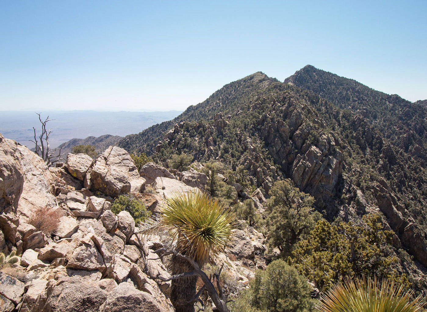
Kingston Peak summit, view north along the ridge I came in on (from the center).
Hire me or show me some love!
Hire/refer me as a web developer or send me a few bucks if you find my site useful. I’m not sponsored, so all fees are out-of-pocket and my time preparing trip reports is unpaid. I really appreciate it!