

Starting up the Kwaay Paay Peak Trail.
View back down toward the trailhead, Fortuna Mountain seen top center.
Ascending to Kwaay Paay Peak's ridge.
Suburban views on the way up Kwaay Paay Peak.
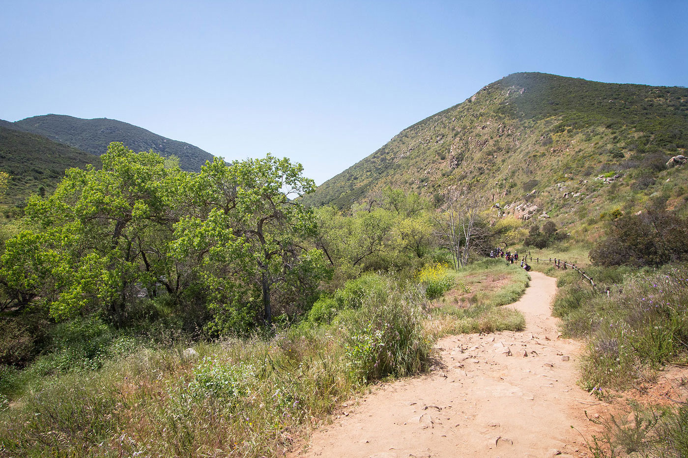
Kwaay Paay Peak ahead.
Approaching the steeper last half mile to the summit of Kwaay Paay Peak.
View back down.
Stairs in place for the steeper section.
The trail flattens out as it nears the summit.
Kwaay Paay Peak, view southwest toward Mission Gorge.
Kwaay Paay Peak, view toward Fortuna Mountain (right) and South Fortuna Mountain (center).
Onward to the Oak Canyon Trail, which starts at the Old Mission Dam Trailhead.
Old Mission Dam.
A bridge over the San Diego River.
Along the Oak Creek Trail.
view back, Kwaay Paay Peak seen top left.
Along Oak Creek.
Lovely little bridges and flowing creek sounds.
The Oak Creek Trail bends west and passes a few little waterfalls like this one.
View back down Oak Creek.
I couldn't get a photo without people in it. Everyone in San Diego was hiking here today.
Little water hole.
I took the Fortuna Saddle Trail up.
It's just a service road to the saddle.
View back down the steep Fortuna Saddle service road.
Heading up the Fortuna Mountain Trail.
View back toward the saddle, South Fortuna Mountain seen right.
Ascending to Fortuna Mountain.
Fortuna Mountain, though the next hump looked higher so I went over there.
Close-up toward the highway.
Fortuna Mountain summit marker.
Hire me or show me some love!
Hire/refer me as a web developer or send me a few bucks if you find my site useful. I’m not sponsored, so all fees are out-of-pocket and my time preparing trip reports is unpaid. I really appreciate it!