

We headed along a dirt road to Lonely Pinon Mountain, left of center.
Looking back toward Las Vegas, Kids Peak on the left (our final peak later).
Ascending the drainage.
Class 2 within the drainage.
Looking back as we ascend.
Toward the top of the drainage on some Class 2.
Along the ridge to the summit of Lonely Pinon Mountain.
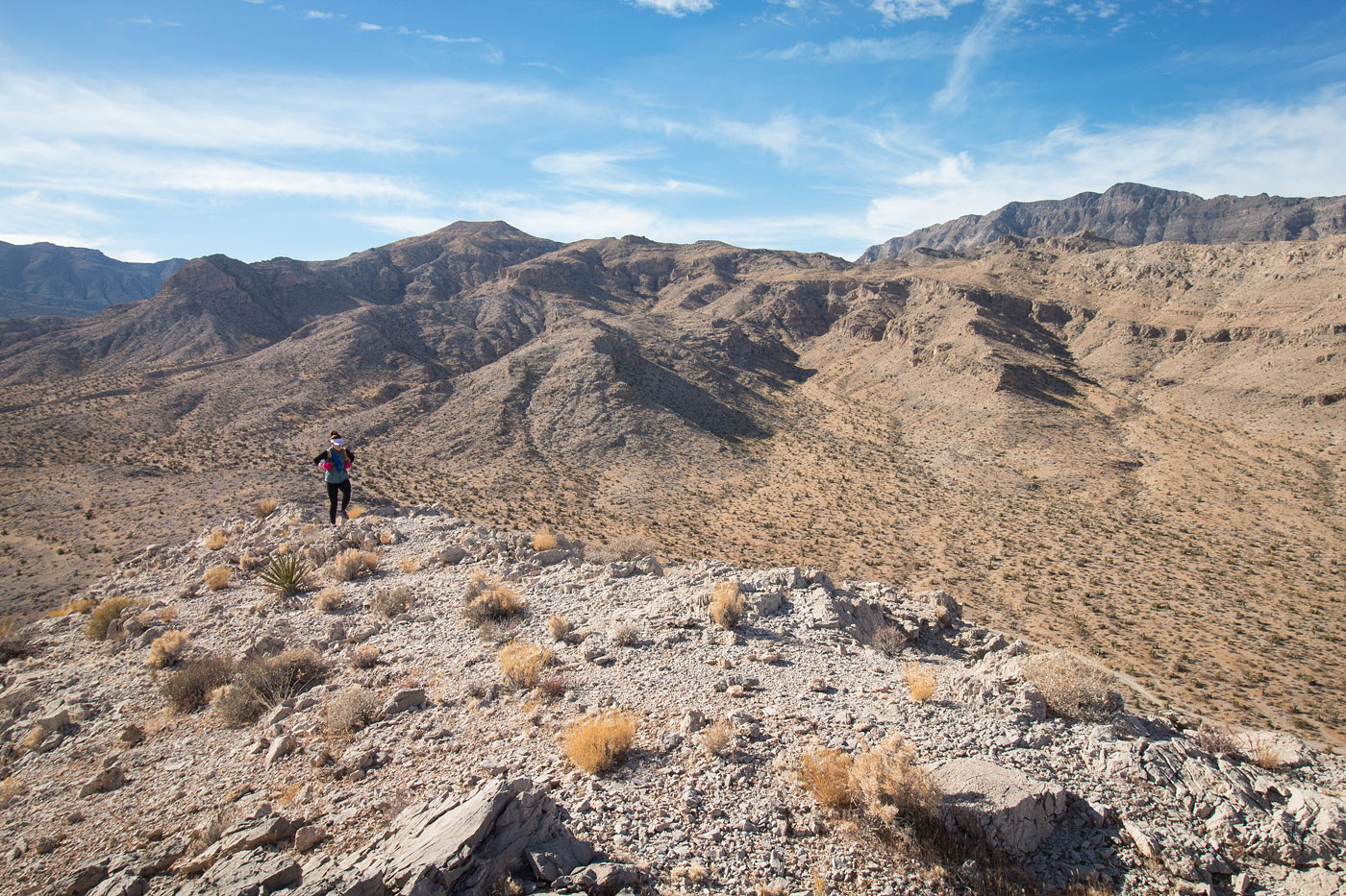
Looking north as we ascend to Lonely Pinon Mountain.
Lonely Pinon Mountain, view south toward the La Madre Mountains.
Heading north along the ridge.
We dropped into a minor drainage, Roger Peak visible ahead.
At the base of Roger Peak.
Looking back toward Lonely Pinon Mountain (center).
Class 2 to Roger Peak.
Roger Peak summit, view toward Marie Peak (left).
Saddle of Roger/Marie.
Class 2 up to Marie Peak. You could make it Class 3/4 if you wanted.
Looking back toward the summit of Marie Peak. You can see the crest is difficult, but most difficulties are avoidable and you can keep the ridge Class 2.
Down the ridge from Marie Peak, Kids Peak visible center. That's next.
Along a dirt road to the west ridge of Kids Peak.
View back toward the ridgeline we traversed as we ascend to Kids Peak.
Class 2 to Kids Peak.
Kids Peak summit. Our cars are just on the other side.
View back toward Paul as as ascend to Kids Peak. Lonely Pinon Mountain visible above her.
Hire me or show me some love!
Hire/refer me as a web developer or send me a few bucks if you find my site useful. I’m not sponsored, so all fees are out-of-pocket and my time preparing trip reports is unpaid. I really appreciate it!