

Sub-peak marking the north end of Longridge Peak's ridgeline.
Following a wash that led to the left of the sub-peak, seen ahead.
Some scrambling within the wash. You can see Epaulet Peak in the distance.
Class 2 gully to gain the ridge crest.
Looking back down the gully I ascended. My car is somewhere in the center of this photo. Epaulet Peak visible up top.
Headed south along the ridgeline to Longridge Peak, visible top left.
Looking back, the sub-peak I ascended to visible center.
Longridge Peak ahead on the right.
Looking back along the ridgeline.
Longridge Peak ahead.
View back along the ridgeline from Longridge Peak.
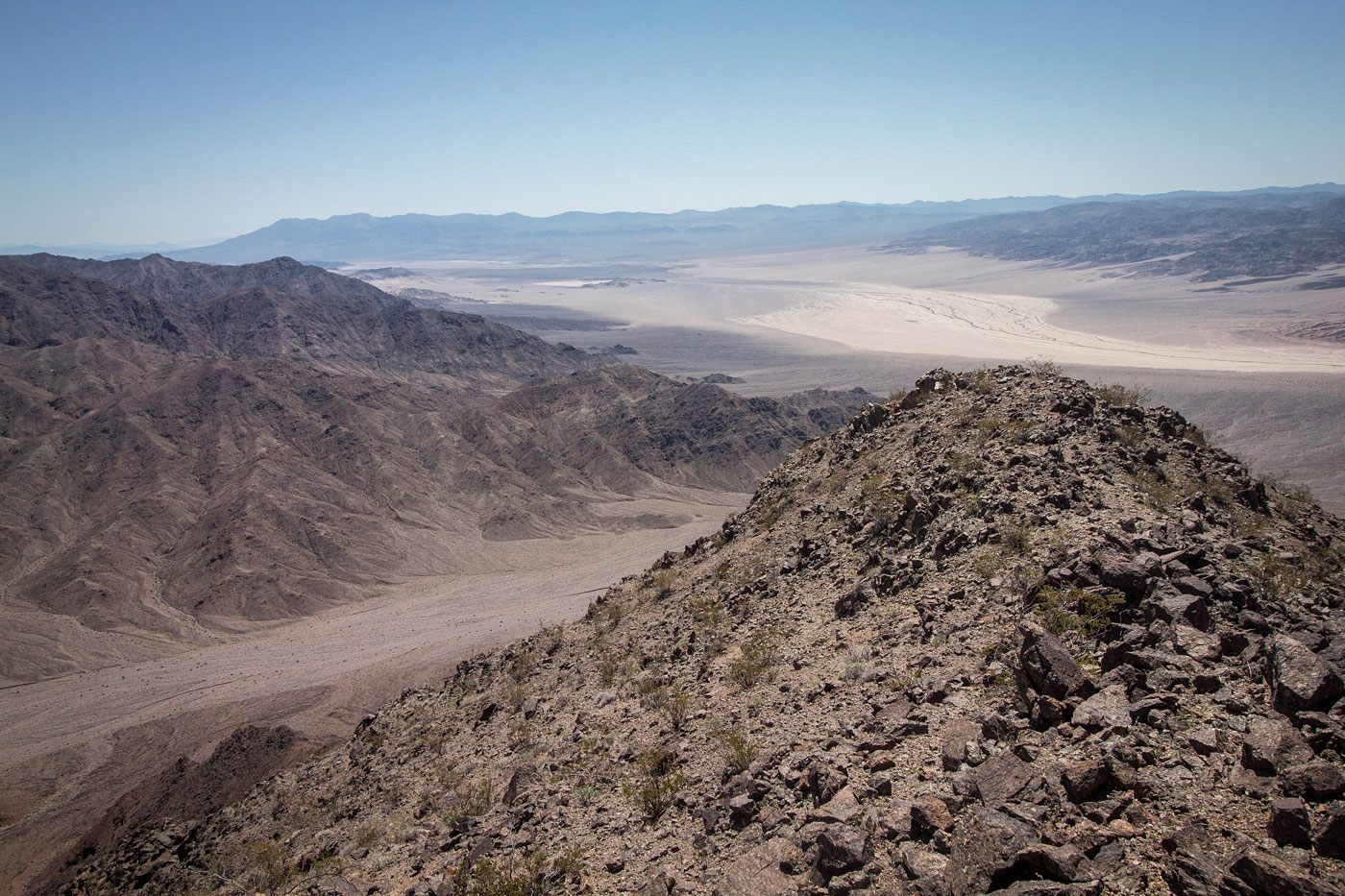
Longridge Peak view toward Jubilee Mountain to the west.
Longridge Peak view south.
Hire me or show me some love!
Hire/refer me as a web developer or send me a few bucks if you find my site useful. I’m not sponsored, so all fees are out-of-pocket and my time preparing trip reports is unpaid. I really appreciate it!