

Killyon Canyon Trailhead. No parking signs everywhere. I had walked on a paved and then dirt road for miles to get here, not pictured. If you plan to just do Lookout Peak, you could park closer, but it still requires walking the entirety of Killyon Canyon Road.
Pretty greenery along the Killyon Canyon Trail.
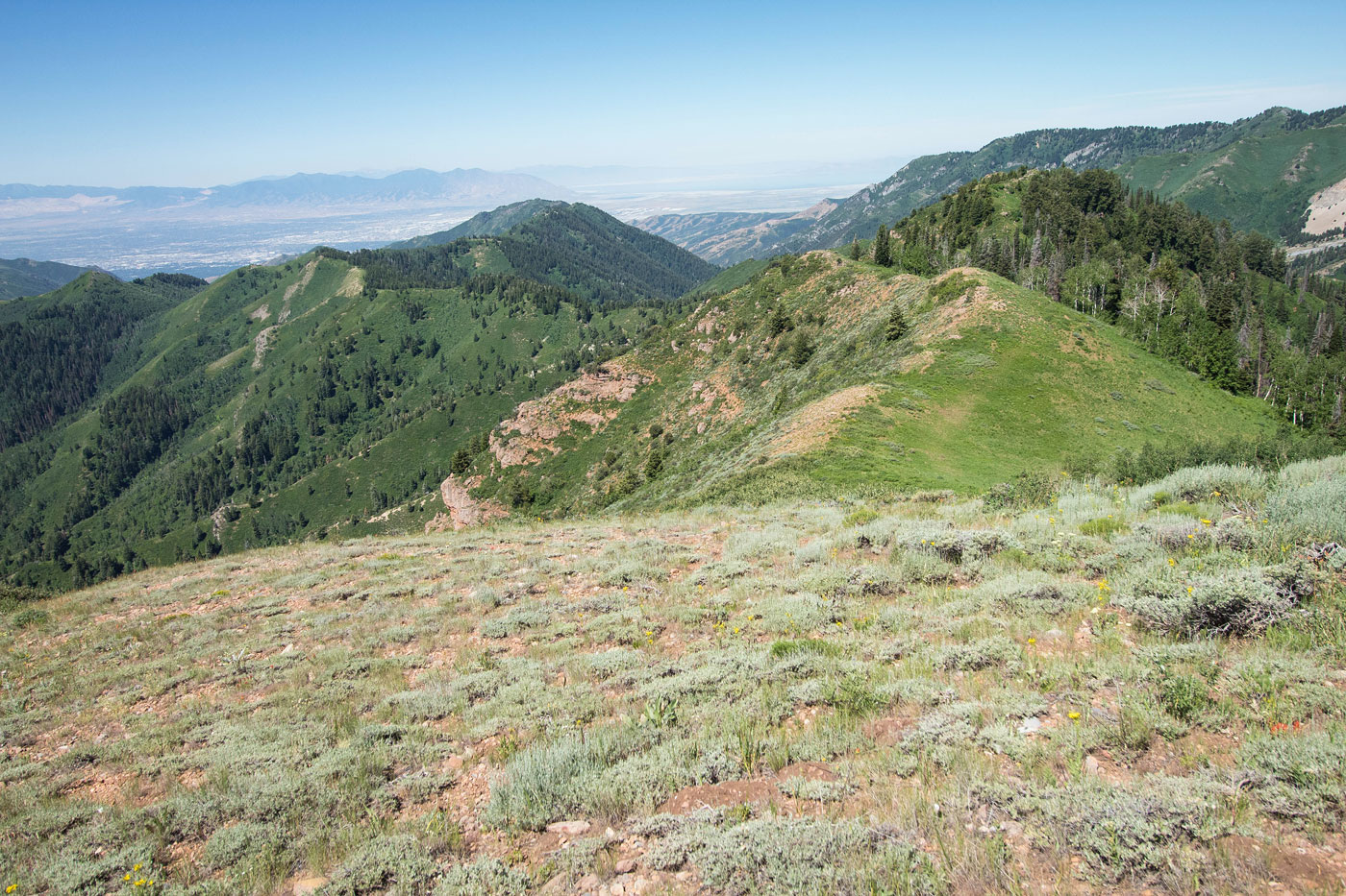
View north at the many small false summits of Lookout Peak.
Looking back into Killyon Canyon.
Approaching the ridgeline leading to Lookout Peak. The peak ahead is a false summit.
Looking back the way I came.
Along the ridgeline on a nice trail.
Making progress along the ridgeline.
Looking back down the ridgeline, almost on Lookout Peak.
Lookout Peak ahead.
Lookout Peak high point is the second hump, and to the right just above the snow in this photo.
After summitting Lookout Peak, I continued west along the ridge.
Yeah, lots of brush at the start, but this was the worst of the traverse.
Difficult to follow social trail at times, likely just because it's summer, but overall an easy route to follow. It's just a ridgeline. Black Mountain visible on the left.
A big section of downhill, Black Mountain visible center.
Looking back up toward Lookout Peak.
A weird dwelling along the ridge.
Continuing along the ridge.
Looking back toward Lookout Peak.
A high point at the top of the Emigration Canyon Miner Trail (out of frame on the left). Ahead is the ridge leading to Black Mountain.
Bushwhack to Black Mountain (visible center).
Black Mountain ahead. Yep, lots of brush.
Already halfway there, might as well keep going!
Nearing the summit of Black Mountain, view east toward Lookout Peak (left). This was the best view while on Black Mountain, and you're right, it's not particularly interesting...
Black Mountain summit block ahead.
Back on the high point the top of the Emigration Canyon Miner Trail, view south. You can see the trail on the left.
Heading down on the slightly overgrown trail.
Great views to the south along the Miners Trail until the trail turned east and headed down a slope. On the way down, the trail is in good shape, but the views were just of forest.
A meadow once the Miners Trail headed back south again.
Looking north back the way I came.
The Pinecrest Trail.
Looking back the way I came.
The Pinecrest Trail wraps around and heads north to the trailhead. Visible in this photo is the ridge I traversed today - Lookout Peak somewhere on the right, Black Mountain out of frame on the left.
Hire me or show me some love!
Hire/refer me as a web developer or send me a few bucks if you find my site useful. I’m not sponsored, so all fees are out-of-pocket and my time preparing trip reports is unpaid. I really appreciate it!