

Along the Tejas Trail through Dog Canyon.
Ascending the Tejas Trail.
View into Dog Canyon.
Along the ridge, ascending out of Dog Canyon.
View back into Dog Canyon.
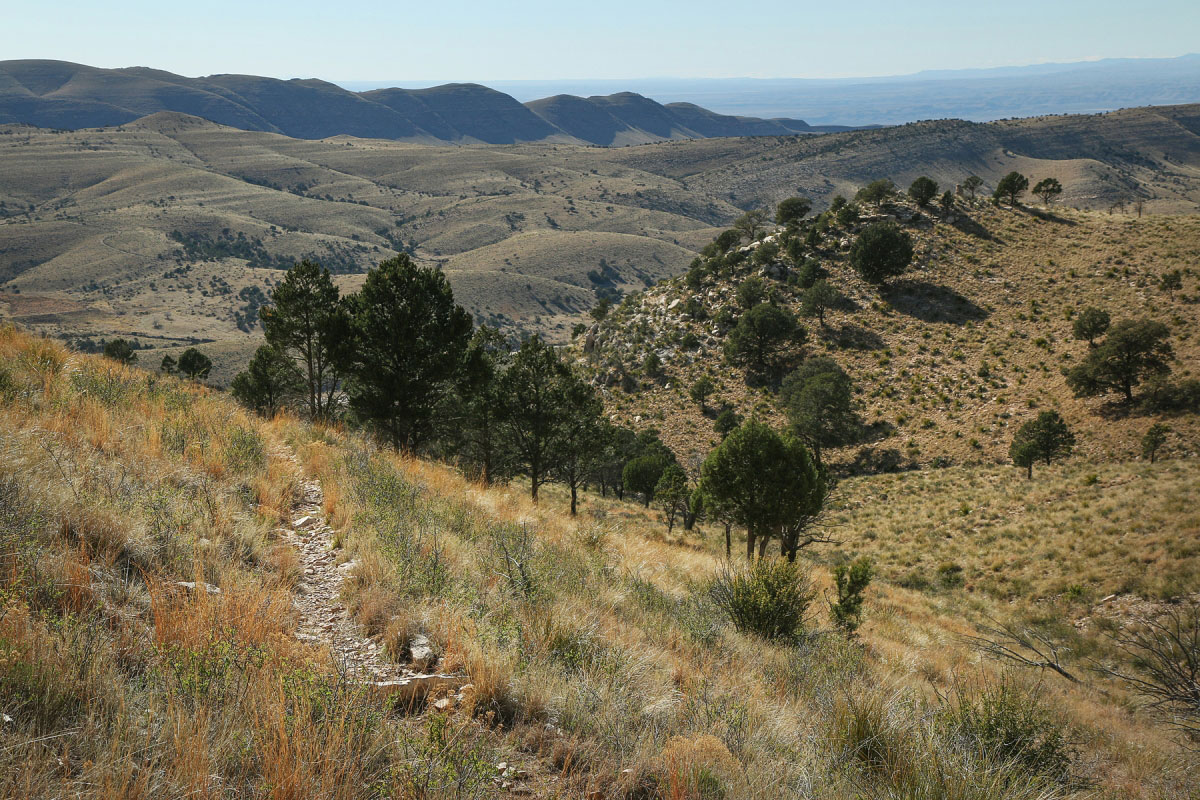
View south along the ridge, past Lost Peak.
Some pretty forest along the ridgeline.
Descending from the ridge.
Descending along the Marcus Trail.
Lots of wide open meadows.
View back as I start ascending another ridge along the Marcus Trail.
View west.
Continuing along the Marcus Trail.
View up toward Lost Peak, though the trail now takes me back down to the trailhead.
Continuing east along the Marcus Trail at the top of the ridge. Now to start the descent.
Almost back to the Dog Canyon Trailhead.
Hire me or show me some love!
Hire/refer me as a web developer or send me a few bucks if you find my site useful. I’m not sponsored, so all fees are out-of-pocket and my time preparing trip reports is unpaid. I really appreciate it!