

Starting out from the trailhead.
The trail begins wide and flat and has only a light grade.
The wide gravel trail is blocked by a big log to direct traffic onto this more narrow singletrack, which begins switchbacking up the slope.
A bunch of siwtchbacks with eroded ends from people who don't know not to cut the switchbacks.
Charleston Peak visible in the distance, view from along the siwtchbacks.
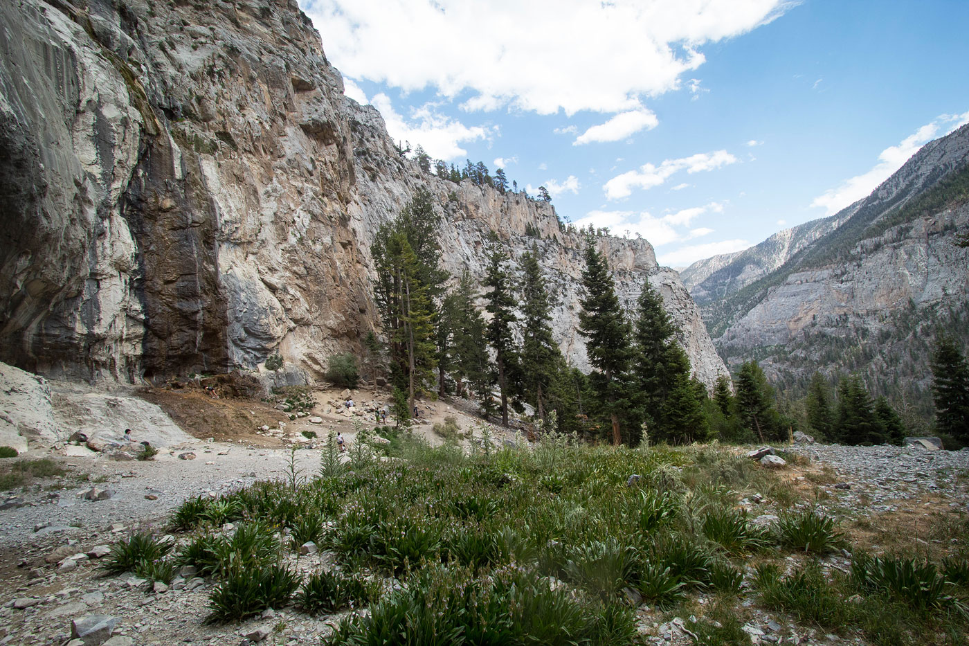
The switchbacks led to the base of the limestone cliff above, then followed the base of the cliff to the falls.
View back along the base of the cliff.
Mary Jane Falls ahead.
Mary Jane Falls.
Wide shot of Mary Jane Falls (left) and Kyle Canyon below (right).
Mary Jane Falls.
View to the ridge to the south from Mary Jane Falls.
2015 photo of Mary Jane Falls.
2015 photo of Mary Jane Falls.
Hire me or show me some love!
Hire/refer me as a web developer or send me a few bucks if you find my site useful. I’m not sponsored, so all fees are out-of-pocket and my time preparing trip reports is unpaid. I really appreciate it!