

Starting from the Max Patch Mountain trailhead.
I did the loop counter-clockwise.
Junction, signs point you up to Max Patch Mountain (left).
Views on the ascent to Max Patch Mountain.
Max Patch Mountain ahead.
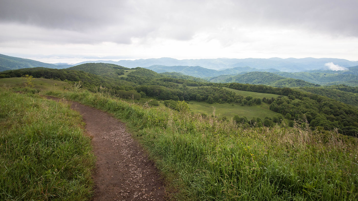
Looking back the way I came. Lots of great views for such a short hike.
Looking back as I approach the summit.
Max Patch Mountain.
Close-up views from Max Patch Mountain.
Descending the north side of Max Patch Mountain.
Some final views before getting back to the trailhead.
Hire me or show me some love!
Hire/refer me as a web developer or send me a few bucks if you find my site useful. I’m not sponsored, so all fees are out-of-pocket and my time preparing trip reports is unpaid. I really appreciate it!