

Barnhardt Trailhead. Keep right at the junction with the Y Bar Basin Trail. I returned via the left on my descent.
Along the Barnhardt Trail.
Entering Mazatzal Wilderness.
Barnhardt Trail, Barnhardt Canyon visible on the right.
View back along the Barnhardt Trail.
Making progress, view back along the Barnhardt Trail. The trailhead is in the distant center somewhere.
The Barnhardt Trail heads up the slopes of a side drainage.
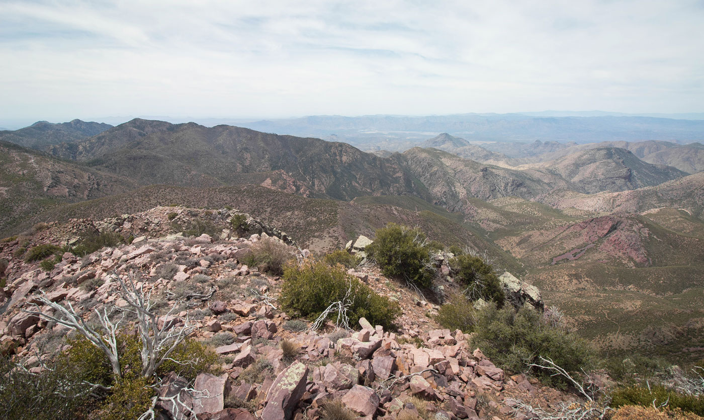
Switchbacks. The trail heads away from Barnhardt Canyon, center.
At the top of the switchbacks, the Barnhardt Trail calms down a bit and wanders along the slopes.
Barnhardt Falls.
View back toward Barnhardt Falls (right of center).
Barnhardt Trail continues west.
The views along the Barnhardt Trail aren't quite as good past Barnhardt Falls, but it's pretty in its own way.
View back.
The trail heads along the slopes. My goal is the drainage left of center in this photo.
I left the Barnhardt Trail and started up this Class 2 boulder-hoppy drainage.
View back within the drainage.
I left the drainage and ascended a spur ridge.
View back as I make progress up the spur ridge. The Barnhardt Trail came up from the canyon right of center, the rocky drainage I ascended visible center.
Steep slope with minimal bushwhacking. I side-hilled a bit and made an ascending traverse to gain the ridge ahead in order to avoid a massive cluster of bad brush.
View back down again. Barnhardt Trail came from the canyon right of center.
On the slopey ridge, heading up to Peak 7823, the false summit of Mazatzal Peak. You can see its rocky face in the center.
Along the rim to Peak 7823.
View back along the approach to Peak 7823.
Peak 7823 ahead.
Peak 7823 summit, view back the way I came.
Peak 7823, view toward Mazatzal Peak. Very pretty, short traverse to get to Mazatzal.
Mazatzal Peak summit, view west.
Close-up to the west.
Mazatzal Peak summit, view north toward Peak 7823. The popular Barnhardt / Y Bar Basin Loop that people take wraps around the base of the cliffs on the bottom left in this photo.
I left the summit of Mazatzal Peak and headed east, hoping to get down to the Y Bar Basin Trail. The route quickly became brushy.
My goal is the saddle in the center of this photo. I stayed high for as long as I could until I encountered cliffy terrain.
I dropped into a brushy slope.
View back up toward the brushy slope nestled between rock outcrops that I came down.
I tried to stick to the most prominent ridge I could since it had the least amount of brush, but this is what it looked like much of the way down.
View back up the ridge.
Near the bottom of the ridge, view back up the way I came.
I kept left of the ridge at a couple of points to avoid cliffs.
At the base of the descent, view back toward the ridge I came down (left). You can see the cliffs I avoided.
Along the Y Bar Basin Trail.
Looking back toward the saddle as I descend along the Y Bar Basin Trail.
Y Bar Basin Trail. Not very interesting.
Y Bar Basin Trail leaves the forest and wraps along the slopes. Shake Tree Canyon visible on the right. It's a few miles of views and trail that look pretty much just like this.
View back along the Y Bar Basin Trail.
Nearing the end of the Y Bar Basin Trail.
Hire me or show me some love!
Hire/refer me as a web developer or send me a few bucks if you find my site useful. I’m not sponsored, so all fees are out-of-pocket and my time preparing trip reports is unpaid. I really appreciate it!