

Starting from Kane Springs Road, I headed across the desert to the drainage in the center. Meadow Valley Mountains High Point visible left of center. The tiny summit block is poking out behind the cliff face that's most obvious in this photo.
Plane wreckage.
Big piece of plane wreckage.
The biggest piece of plane wreckage, just before dropping into the drainage on the right. Meadow Valley Mountains High Point left, J. J. Freakel Peak on the right.
Within the drainage, heading to the saddle of the two peaks.
The drainage starts off pleasant enough.
And then slowly introduces more rocks and brush.
And finally the drainage enters a canyon, where the brush and rocks are slightly more of a hassle.
View down into the narrow section.
Continuing up the canyon.
Shot as I make it higher up. You can see the drainage I came from in the distant center.
The brush/rock continues on the right, but a scree slope option exists on the left.
The drainage kept to the left and seemed to head away from the saddle, so I scrambled out of it and headed up the slope leading to the saddle.
Just below the saddle, view down into the slope I ascended after leaving the drainage. The mouth of the drainage is visible on the left.
First up is Meadow Valley Mountains High Point. Limestone ledges (Class 2) led up the ridge.
View down toward the saddle. I came up from the slope on the right.
Meadow Valley Mountains High Point summit ahead.
Summit block. The route goes through the crack on the block's far left.
Class 3 crack.
Close-up into the crack. Note the chockstone in the center.
Looking down into the crack. The chockstone from the previous photo is visible in the center of this one.
Summit of Meadow Valley Mountains High Point, view toward J. J. Freakel Peak.
Close-up of J. J. Freakel Peak.
Back at the saddle, I headed up to J. J. Freakel Peak. Class 2 and pretty loose.
View back toward Meadow Valley Mountains High Point and the saddle. You can see the drainage I came out of to reach the saddle in the center of this photo.
Class 2+ weakness about two-thirds up the ridge.
Wide rocky ridgeline.
Optional exposed knife-edge. Keep right around it.
Class 3 section to gain the summit.
J. J. Freakel Peak, view south.
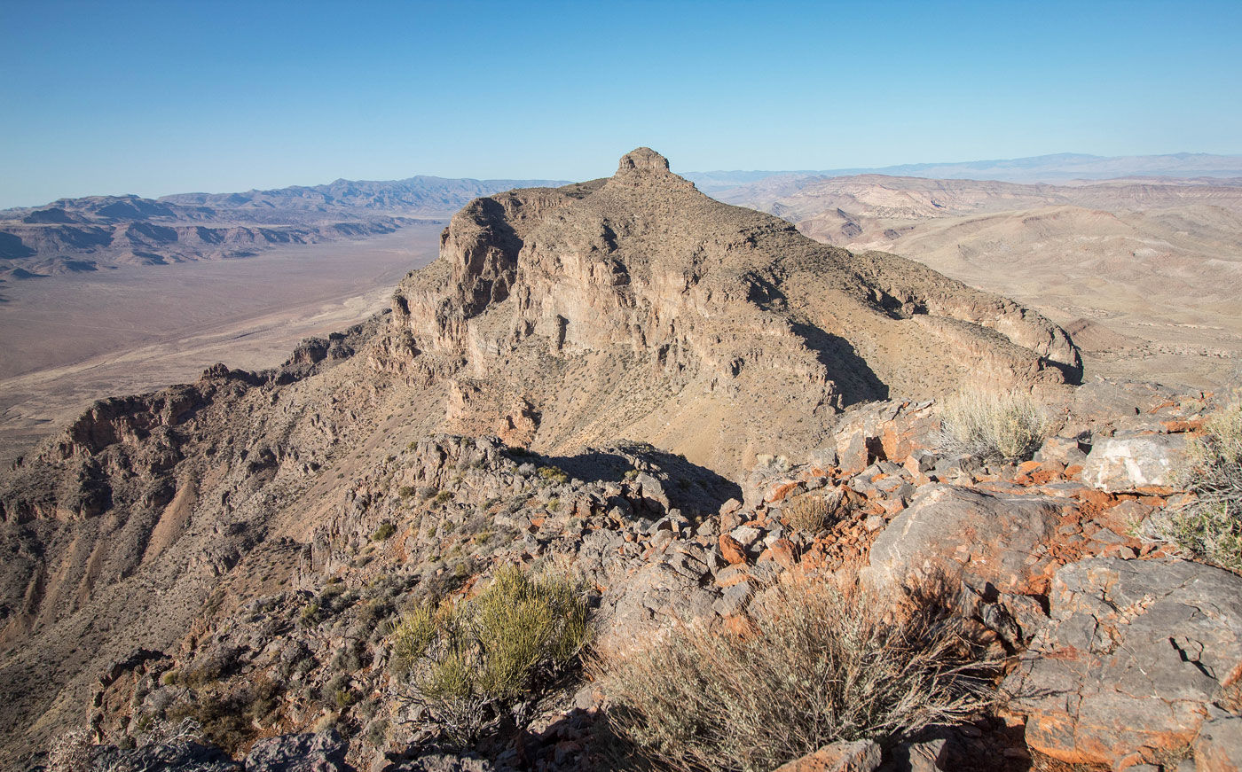
J. J. Freakel Peak, view north toward Meadow Valley Mountains High Point.
Close-up down into the drainage I ascended from. My car is at the top center of this photo.
Hire me or show me some love!
Hire/refer me as a web developer or send me a few bucks if you find my site useful. I’m not sponsored, so all fees are out-of-pocket and my time preparing trip reports is unpaid. I really appreciate it!