

Starting out from the trailhead, initially along the Chokecherry Trail #024.
The trail parallels Chalk Creek for much of the hike.
There were a bunch of stream crossings, some with blanks or logs, others with rocks.
Another stream crossing.
The trail was in great shape.
Junction, keeping right to stay on the Bear Canyon Trail.
A stream crossing just before the trail started ascending on the slope of Chalk Creek.
Chalk Creek below.
View back.
Gorgeous trail with nice spring foliage.
Junction, keeping right.
Ascending to an overlook of Moss Falls.
Moss Falls, seen across the creek.
View down the creek from the Moss Falls viewpoint.
Continuing along the trail, which swaps between the left and right banks of the creek.
The trail ascends for a while through the forest.
And enters a couple of small meadows. Keep going straight and picking up the trail again should be no big deal.
Continuing to ascend along the Bear Canyon Trail.
View back along the Bear Canyon Trail before it starts ascending steeply.
Final creek crossing before the ascent up to the Paradise Trail.
Ascending the steeper portion of the trail.
Junction with the Paradise Trail. It might be hard to locate the Bear Canyon Trail on the way back, since it's unsigned and has some deadfall.
Along the Paradise Trail.
View back along the Paradise Trail.
Yay, the mountains become visible.
View back along the Paradise Trail.
Higher up as we ascend the Paradise Trail.
Along the Paradise Trail, nearing its end where it meets with the drivable road.
View back.
End of the Paradise Trail, where it merges with the drivable road. Mine Camp Peak comes into view on the right.
View back at the end of the Paradise Trail.
View back along the road walk.
View back along the road walk before reaching the spot where we'd leave the road and take a social trail to the summit.
A short drop from the road leads to a minor saddle, Mine Camp Peak seen ahead.
View back toward the saddle.
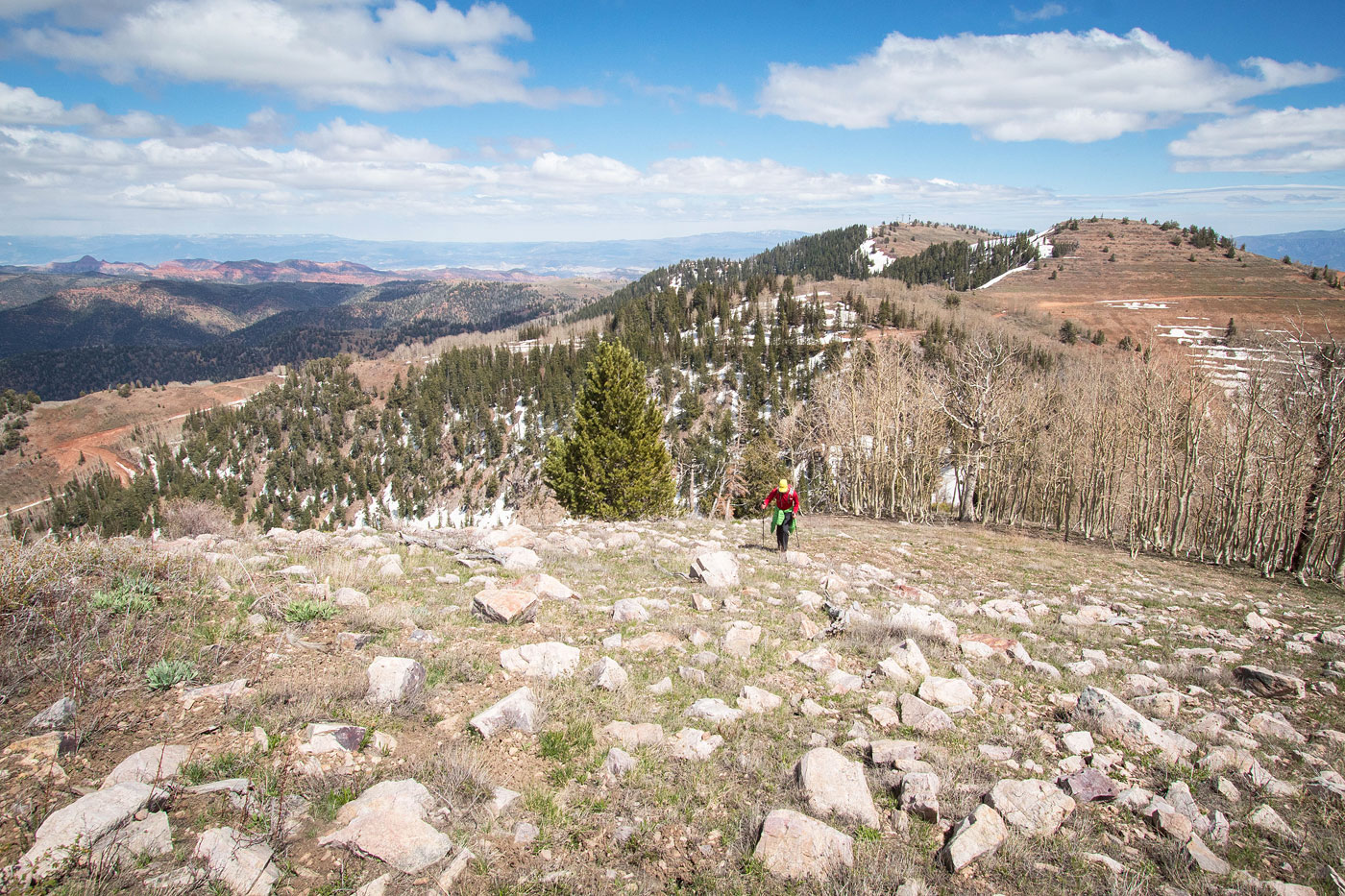
Pretty easy walking along the ridge.
View back the way we came.
Approaching the summit of Mine Camp Peak, just ahead.
Mine Camp Peak summit, view west.
Hire me or show me some love!
Hire/refer me as a web developer or send me a few bucks if you find my site useful. I’m not sponsored, so all fees are out-of-pocket and my time preparing trip reports is unpaid. I really appreciate it!