

Heading through the desert to the slope left of center.
After a fairly long walk, we headed up the Class 2 slope/ridge seen here. Miracle Max Canyon comes down behind the dark hill on the left, not visible until we were halfway up the slope/ridge.
Looking back the way we came as we ascend the slope/ridge.
Ascending. The drainage on the left is not Miracle Max Canyon.
At the top of the steepest section of the ascent. We would continue along this mostly flat section to the top of the small point above Matt. From there, we'd head to the left and drop into Miracle Max Canyon.
Close-up into Miracle Max Canyon. We would wrap around the right, out of frame.
Continuing south along the ridge before we dropped to the right into a sandy wash. You can see the mouth of Miracle Max Canyon on the left.
After dropping to the right into a sandy wash. We followed this.
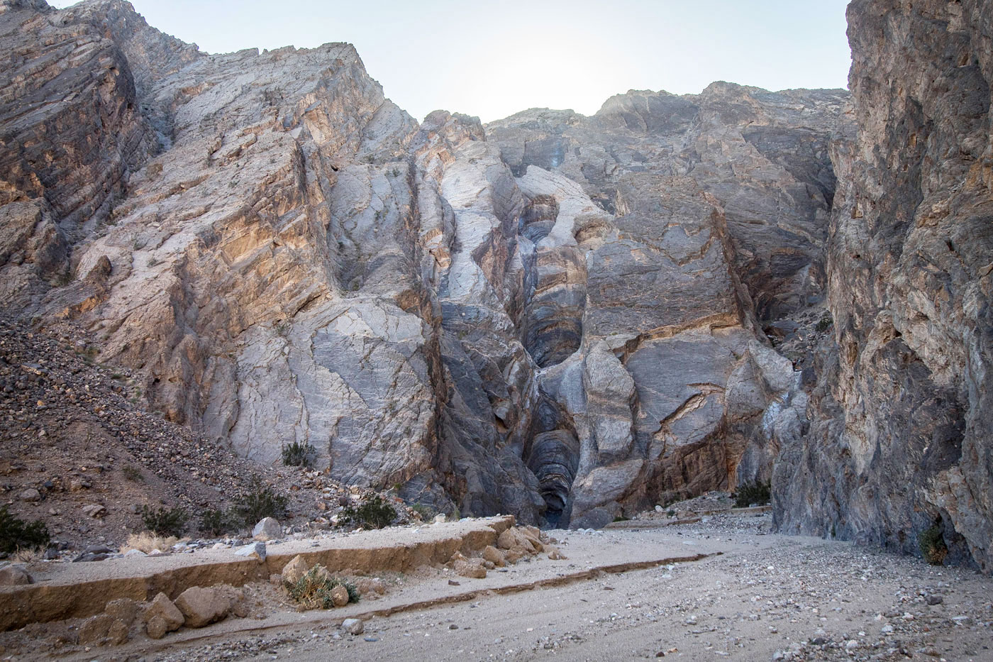
The sandy wash narrowed into Miracle Max Canyon.
Narrow hairpin turn in Miracle Max Canyon.
Gorgeous narrows and lighting.
Some minor obstacles.
A shot looking toward the obstacle from the previous photo (center) and the first rappel (right).
First rappel.
Looking back up the first rappel.
First rappel.
Second rappel.
Third rappel.
Third rappel.
Looking up at the third rappel.
Close-up of Matt on the third rappel.
Fourth and final rappel.
Pulling the rope on the fourth rappel.
Bottom of the fourth rappel.
Looking back at the rappels. You can see the last three.
Wide shot of the rappels.
We headed down the wash from the mouth of Miracle Max Canyon and wrapped around to the left of the base of the mountains, heading back to the car.
Hire me or show me some love!
Hire/refer me as a web developer or send me a few bucks if you find my site useful. I’m not sponsored, so all fees are out-of-pocket and my time preparing trip reports is unpaid. I really appreciate it!