

Snowbank Trail.
Initially a forested hike along the Snowbank Trail.
View back as the Snowbank Trail leads through alternating meadows and forest.
A little hard to follow the trail in a few spots, but cairns marked the way, or at least it was mostly clear where to go.
View back into some meadows.
Recently cleared deadfall.
A steeper section, view back the way I came.
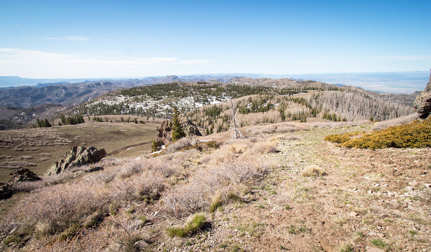
Ascending through more meadows up to a low saddle.
At the low saddle, view east toward Mount Dutton. The Snowbank Trail curves south and descends a bit just ahead.
Descending for a short time along the Snowbank Trail.
Tight switchbacks up the forested slope.
View back the way I came as I make my way up to Mount Dutton's south ridge.
I had some snow, but the trail itself was easy to follow and clear or brush and deadfall.
The trail leads to the ridge, seen ahead.
Sign for the top of the Snowbank Trail. I headed left along the road.
Along the road, headed to Mount Dutton.
Mount Dutton ahead.
View back as I head up the grassy slopes on Mount Dutton's south side.
Social/animal trail up to the summit.
View back the way I came toward the southern Sevier Plateau.
Closer shot, Adams Head visible on the left.
Mount Dutton summit. The high point is the boulder on the left.
View north.
Mount Dutton summit ahead. The Tushar Mountains visible in the distance.
Summit of Mount Dutton, view south.
Close-up west.
Hire me or show me some love!
Hire/refer me as a web developer or send me a few bucks if you find my site useful. I’m not sponsored, so all fees are out-of-pocket and my time preparing trip reports is unpaid. I really appreciate it!