

From my parking spot, a view toward Mount Ferguson (left). I first headed toward the right to reach a drainage.
Within the drainage.
Mount Ferguson seen ahead.
The drainage narrows a bit and I left it on the right to ascend a colorful slope.
View back toward the drainage, center.
Ascending. Mount Ferguson seen top left.
View back along the animal trail along a colorful slope.
Approaching the first steep section, Class 2.
View back as I near the top of the steeper section. My car is somewhere in the center.
Past the first steep section, a view toward a flat portion followed by a second steep section to gain the ridgeline.
Class 2 up this section.
View back toward the flat part as I ascend the second steep slope.
Along the east ridge of Mount Ferguson.
Some light bushwhacking and short Class 2 section. Mount Ferguson visible on the left.
View back along the ridgeline. I came from the top right in this photo.
Continuing along the ridgeline.
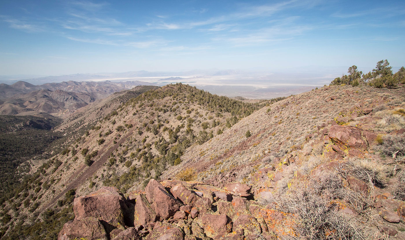
Mount Ferguson summit, view back the way I came.
Mount Ferguson summit, view west.
Mount Ferguson summit, view north.
Mount Ferguson summit, close-up northwest.
Hire me or show me some love!
Hire/refer me as a web developer or send me a few bucks if you find my site useful. I’m not sponsored, so all fees are out-of-pocket and my time preparing trip reports is unpaid. I really appreciate it!