

Starting up the road after it became too rough to be worth driving. Mount Glenn is up there hidden by a sub-peak in the center.
At the top of the road switchbacks, view east.
An old mine at the end of the road.
At the end of the road, view toward the east ridge of Mont Glenn. First I'd have to get up this burly slope seen on the left.
Yep, this is pretty much what the slope is like for a few hundred feet. Not excellent.
After ascending the short-lived unpleasant slope, I started along the east ridge toward Mount Glenn, obscured in the center.
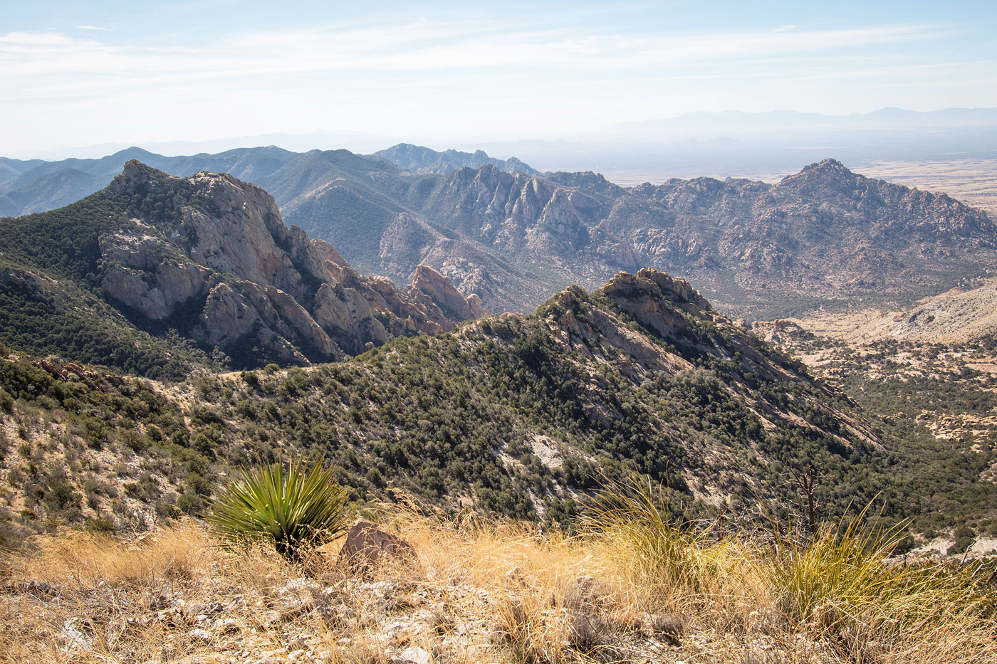
At the ridgeline, view south toward the granitic formations the Dragoon Mountains are known for.
Close-up along the ridgeline.
View back along the ridge, my car somewhere in the center below.
Continuing along the ridge, Mount Glenn now visible top left.
A steeper section of slope. As you can see ahead there are a few small humps to go up and over.
View back.
The ridgeline bends southwest, continuing to Mount Glenn.
This is about the worst the brush/grass gets.
Final ascent to Mount Glenn seen ahead.
Close-up along the ridge toward one of the many cool granitic blobs on the south side of Mount Glenn.
The ridge enters a burn area a few hundred feet from the summit. Ahead you can see a rock outcropping through the trees. Keep left of these to avoid excessive bushwhacking.
Just below the summit, view back along the eat ridge of Mount Glenn.
Final slope to the summit.
First of two summits, view toward the high point, just to the northwest.
Mount Glenn summit, view southeast.
Mount Glenn summit, view south.
Hire me or show me some love!
Hire/refer me as a web developer or send me a few bucks if you find my site useful. I’m not sponsored, so all fees are out-of-pocket and my time preparing trip reports is unpaid. I really appreciate it!