

Wilderness boundary, Mount Grafton visible ahead.
I followed the degraded old wildnerness road.
Mount Grafton on the left.
The road crossed a creek.
Lightly forested hiking along the old road.
The road pretty much ended and a social trail led across the creek to just before the ridgeline I chose to ascend.
My chosen spur ridge.
View back toward the drainage I ascended from. The road I hiked in on is obscured by trees on the right.
Minor Class 2 up the ridge.
Meadowy-feeling open section as I progress up the ridge.
View back.
Entering some ankle-high brush.
View back down toward the meadowy-feeling section of ridge, the road I hiked in on within the trees in the center.
The terrain felt/looked like this for much of the ascent.
Some short spurts of Class 2 talus.
View back as I get higher, the meadowy-feeling section mentioned earlier visible in the center of this photo.
Some lightly forested sections as I ascend.
As I noted in the description above, there is long boulder field you can see here, which I was able to avoid by keeping to the left (east) side of the ridge.
More ascending. Nothing really noteworthy, just some minor trees, rocks, and brush obstacles.
Talus becomes more prevalent as I near the last few hundred feet.
View back along the ridge. Wheeler Peak visible top right. Schell Range visible top left.
Pushing to the summit.
More talus just before the Mount Grafton summit.
Mount Grafton summit ahead.
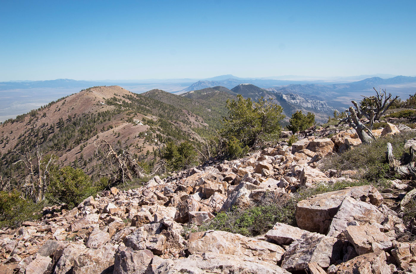
Mount Grafton summit, view south.
Mount Grafton summit, view north.
Hire me or show me some love!
Hire/refer me as a web developer or send me a few bucks if you find my site useful. I’m not sponsored, so all fees are out-of-pocket and my time preparing trip reports is unpaid. I really appreciate it!