Hike Mount Greylock via Bellows Pipe Trail and Gould Trail Loop Mount Greylock State Reservation, MA


Along the Bellows Pipe Trail.
Well-marked junctions. Keep ascending.
It's a pretty boring roadbed walk, but still pretty.
Another well-marked junction.
Passing a shelter.
The trail narrows from being a road into a proper singletrack.
Steep sections at the switchbacks.
The trail clearly continues to follow an old roadbed, making long a sweeping switchbacks rather than typical trail laid for hiking.
Last push to the summit.
View back.
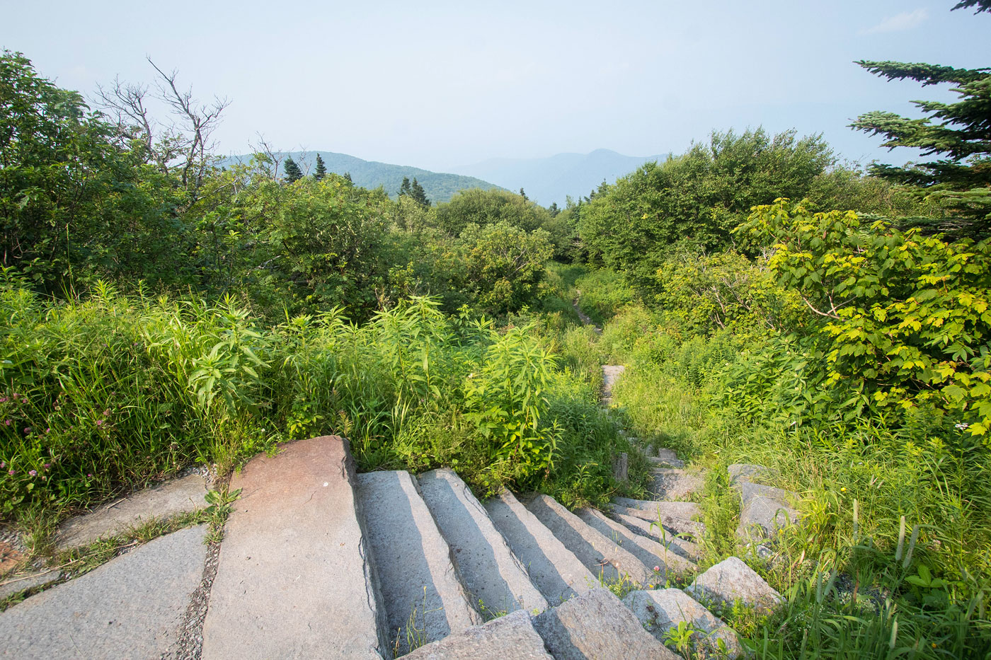
Some nice stairs lead off the trail and up toward the summit.
A road crossing, Mount Greylock just ahead.
Mount Greylock summit memorial visible.
View from Mount Greylock.
Mount Greylock.
Along the Appalachian Trail briefly.
Small parking area for the Gould Trailhead. I headed down the Gould Trail.
Pretty scenery, a lot nicer than the ascent.
Just past the junction that would lead to the Gould Trailhead. I stayed on the north side of Peeks Brook instead, following this old roadbed.
View back along the old roadbed I followed, Peeks Brook on the left. Here you can cross the brook and be back on the official Gould Trail. Alternatively, head through the field (out of frame on the right).
Short walk through an overgrown field. The route leads down to an old covered bridge.
Gould's Covered Bridge. This leads back to the Goud Trail.
Along the Goud Trail, which led me back to the Bellows South Trailhead.
Pretty scenery just before getting back to the car.
Hire me or show me some love!
Hire/refer me as a web developer or send me a few bucks if you find my site useful. I’m not sponsored, so all fees are out-of-pocket and my time preparing trip reports is unpaid. I really appreciate it!