

Road blocked to motorized traffic.
Along the road, Mount Guyot seen top right.
I took a left at the Little French Gulch Trailhead.
Ascending along the Little French Gulch Trail.
It's a pretty forest road converted to a trail.
Ascending up Little French Gulch.
Looking back at a junction that leaves the main trail and heads up a single switchback.
Ascending to the base of Mount Guyot.
I emerged into tundra, Mount Guyot seen ahead. I took a right up the steep slope.
Ascending the grassy slope.
Some light forest up the slope before reaching the ridgeline.
I reached the ridge crest. A social trail along the ridge. I later followed this social trail out of curiosity along the crest, but I definitely recommend the ascent route I took since it avoids lots of forest deadfall.
A view back.
The social trail continues along the ridge.
First major talus slope. The trail continues up this.
View back down at my progress up the ridge.
Mount Guyot ahead, separated from me by a flatter section between steep talus slopes.
Ascending the extended second talus slope.
View back as I head up the second slope. The social trail is a little less obvious at times. Little French Gulch seen right of center. The trailhead I started at is in the center of this photo.
Class 2 up the slope.
I reached the top of the slope, but a short ridge scramble to the summit was still ahead.
View south after reaching the summit ridge.
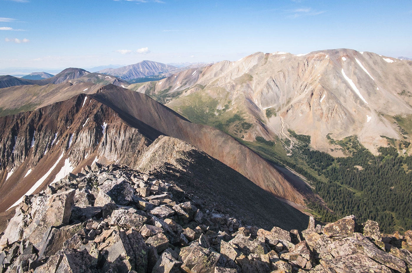
Mount Guyot summit, view toward Georgia Pass to the east.
Mount Guyot summit, view south. Bald and Boreas seen over there.
Mount Guyot summit, view north.
On my way back, I followed the social trail along the ridge. Once I left the ridge to return to the trail, I had to bushwhack over lots of downed trees.
Downed trees on the way back to the trail. I recommend just ascending/descending using the grassy slope instead.
Hire me or show me some love!
Hire/refer me as a web developer or send me a few bucks if you find my site useful. I’m not sponsored, so all fees are out-of-pocket and my time preparing trip reports is unpaid. I really appreciate it!