

Trailhead.
Lots of little boardwalks and bridges along the forested Van Hoevenberg Trail.
Pretty and green, though uneventful until Marcy Dam.
Marcy Dam view.
Bridge just north of Marcy Dam.
A high water detour to cross Phelps Brook.
Normal route to cross Phelps Brook.
Following the north side of Phelps Brook.
Cross Phelps Brook again and begin ascending.
The trail gets more steep and rocky.
Junction with Table Top Mountain, which I'll do on my way back.
Indian Falls junction.
Top of Indian Falls.
Continuing to Mount Marcy.
Green and pretty, but not memorable.
Good signage, easy to get to Mount Marcy.
Mount Marcy view, about a thousand vertical from the summit.
Boardwalk over a marsh. Mount Marcy stays visible for the last half mile or so.
Some light Class 2.
Looking back as I ascend Mount Marcy.
Mount Marcy ahead.
A nice little slab on the ascent to Mount Marcy.
Looking back the way I came.
Near Mount Marcy summit, view back the way I came (northeast).
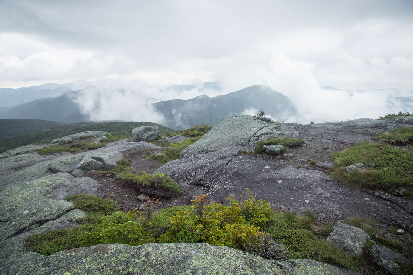
Mount Marcy summit view to the south toward Mount Skylight.
After coming back from Mount Marcy, I took a detour up Table Top Mountain.
Very eroded trail to Table Top Mountain.
Looking back as the trail gets steeper on the way up to Table Top Mountain.
Table Top Mountain summit.
View toward Mount Marcy from Table Top Mountain.
Hire me or show me some love!
Hire/refer me as a web developer or send me a few bucks if you find my site useful. I’m not sponsored, so all fees are out-of-pocket and my time preparing trip reports is unpaid. I really appreciate it!