

Starting the Mount Percival and Mount Morgan Loop.
Well-signed junctions.
Along the Mount Percival Trail.
The trail climbs for a few hundred feet until the base of the scrambling bit.
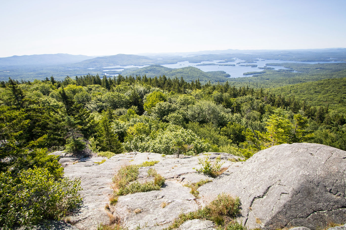
View back with some obscured views toward Squam Lake.
A signed junction just below Mount Percival's summit. Left is for the caves, while right takes the cliffs. I went left, caves.
Class 2.
Squeeze hole into the "cave".
Some more Class 2/2+ scrambling past the cave.
View back down the scramble just below the summit.
Approaching Mount Percival, a view south along the Squam Mountains ridge.
Mount Percival.
Onward to Mount Morgan. The Squam Mountains true high point is located off the trail, a quick detour if you care to bag the high point.
A view along the way.
Overlook toward Squam Lake. Mount Morgan's summit is just behind me.
Descending the trail past the overlook, which leads down some granite slabs.
View back up.
A small cave that might be easy to miss, despite the blazes leading to it.
The small cave opens up and leads to a ladder (behind me).
Looking up at the ladder.
A junction with the Mount Morgan Trail, which I took down to complete the loop.
Along the Mount Morgan Trail, a straightforward and wide trail back.
Hire me or show me some love!
Hire/refer me as a web developer or send me a few bucks if you find my site useful. I’m not sponsored, so all fees are out-of-pocket and my time preparing trip reports is unpaid. I really appreciate it!