

Starting along the Dandrea Trail. It's pretty ugly.
Junction, keep right and continue ascending.
Forested walk on an old road.
Progress up the Dandrea Trail.
The road narrows a bit as it switchbacks up to Moun Union's northeast ridge.
At the ridge. Pass through the fence.
Along the Yankee Doodle Trail, heading to Mount Union.
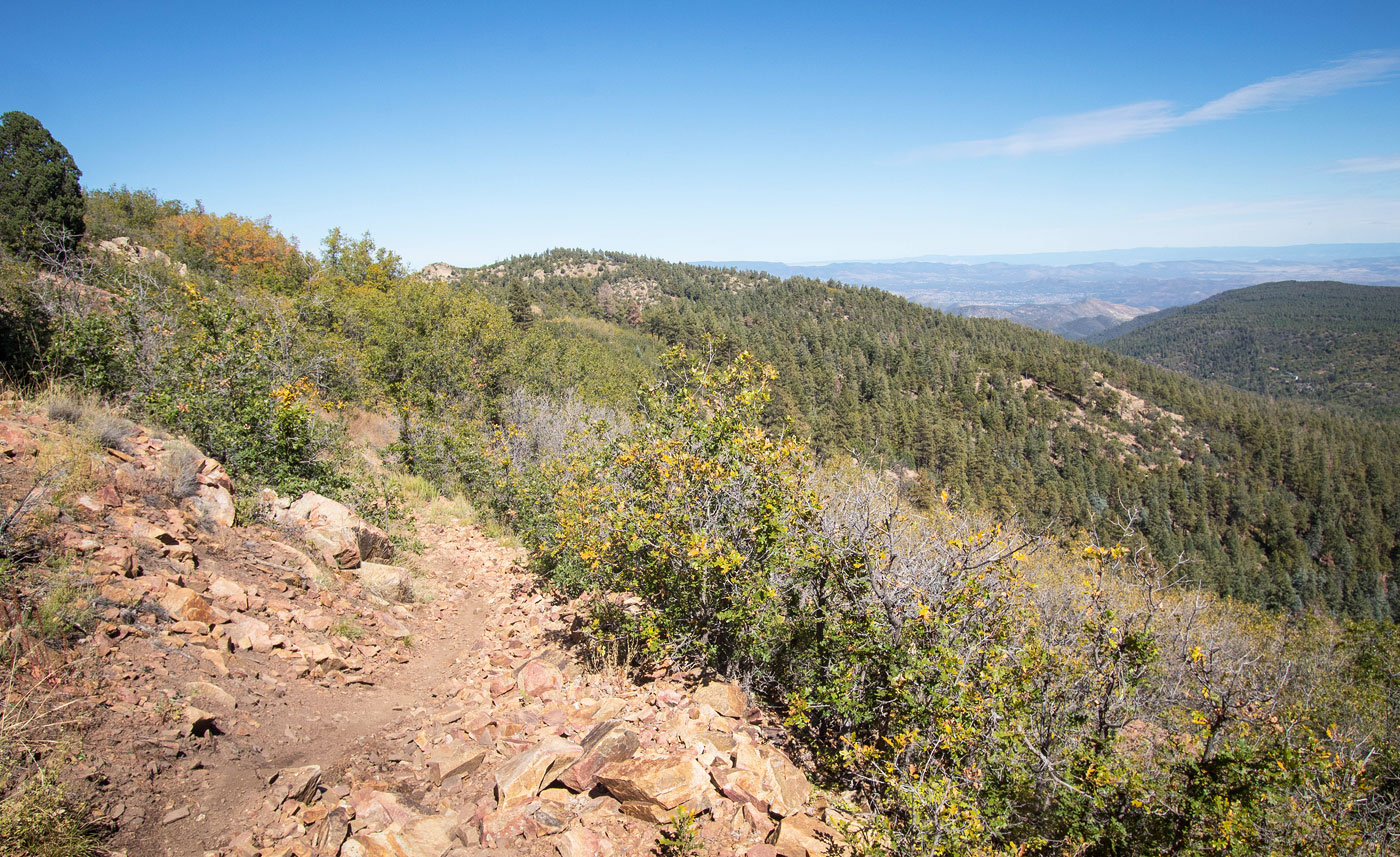
View back.
Some views along the Yankee Doodle Trail.
Mount Union comes into view.
Nicer views as I near the summit. This is looking back the way I came.
Short forested walk to reach the summit.
Mount Union summit, view north.
Mount Union summit, view west.
Hire me or show me some love!
Hire/refer me as a web developer or send me a few bucks if you find my site useful. I’m not sponsored, so all fees are out-of-pocket and my time preparing trip reports is unpaid. I really appreciate it!