

Approaching the base of Mt. Belknap.
A social trail leads up and around Belknap's south side. I recommend not going straight up this ridge to the summit - it gets really steep.
Summit of Mt. Belknap. Mt. Baldy on the right, Blue Lake below.
Summit of Mt. Belknap. The sign reads differently than topo maps.
Down the ridgeline toward Mt. Baldy.
Heading up MT. Baldy, steep scree.
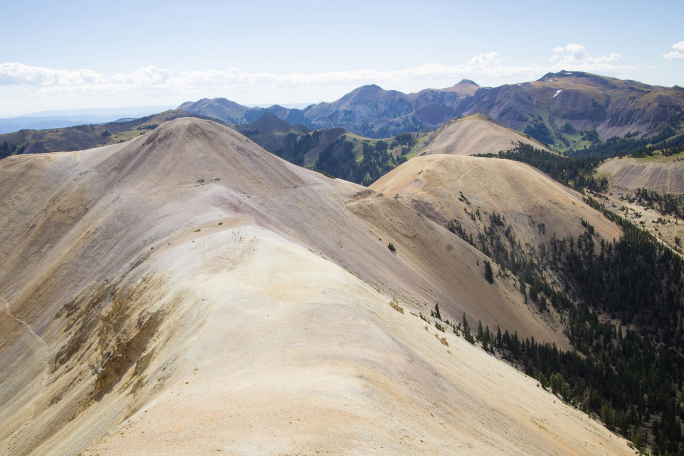
Looking back toward Mt. Belknap.
The super steep section.
Approaching the summit.
Final bit of scrambling to the summit.
Mt. Baldy summit.
Looking down toward Blue Lake.
After coming down from Mt. Baldy, this is the gully from the saddle that heads toward Blue Lake.
Continuing toward Blue Lake.
Blue Lake, Mt. Belknap in the distance.
We picked up the Skyline Recreation Trail above Blue Lake.
A great overlook of Mt. Belknap (center) and Mt. Baldy (left).
Heading off-trail to get to Mt. Shelly Baldy.
Mt. Shelly Baldy ahead.
Looking back along the ridgeline before reaching the summit of Mt. Shelly Baldy.
Approaching the summit.
Summit view looking west.
Back on the trail after Mt. Shelly Baldy.
Leaving the forest and entering the meadows.
Mud Lake. Follow the dirt road from Mud Lake back to the car, a few miles away.
Along the dirt road back.
After some elevation gain, you get a great view of Mt. Baldy (left) and Mt. Belknap (right).
Almost back to the car.
Hire me or show me some love!
Hire/refer me as a web developer or send me a few bucks if you find my site useful. I’m not sponsored, so all fees are out-of-pocket and my time preparing trip reports is unpaid. I really appreciate it!