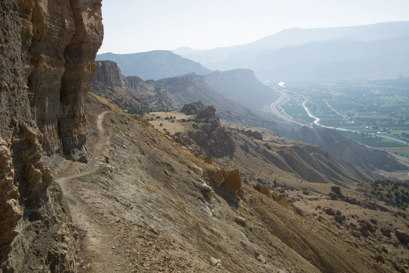
Sep 03, 2017 — Mount Garfield is the name of the promontory outside of Palisade, Colorado that is visible from Interstate 70. A trail leads to the high point, which overlooks the area. The trailhead is very popular. I started along the hard-packed trail leading up one of the fingers of the eroding mesa. The trail was relatively steep and had some light boulder-hopping obstacles. After the initial ascent the trail traversed along a sandy bench, heading west. The elevation gain became less of a push since the route more slowly ascended to the rim above. The trail side-hilled along the steep and eroded face and then upp to the rim. Once on the rim, the trail led calmly to the summit of Mount Garfield. There are really nice views of the cliffs that extend north from the summit.
Please consider helping me out if you find my site useful. I'm not sponsored, so all site fees are out-of-pocket and my time preparing these trip reports is unpaid. You can also hire me as a web developer. I really appreciate it!


If you find my site helpful, please help me replace my many broken cameras, fund my website fees (hosting, APIs, security), or just support my countless hours of work. I pay for all expenses myself, and all trip reports I post are unpaid and unsponsored, so any support is really appreciated!
If using PayPal, please select their option for "Sending to a friend" so they don't take out fees, thank you.
My site is free to use, but consider sending me a few bucks to help keep it running. Thanks in advance!