

Along an old dirt road, Mount Holmes visible top right.
After following the road as it wanders through the desert, we reached a break in the sandstone cliffs above.
The road leads to this break in the sandstone.
The road ascends and we reached this break in the sandstone cliffs, a view northeast toward Mount Hillers.
Past the break in the cliffs (visible above Matt's head) as we ascend on slickrock and soft, pleasant terrain.
Mount Holmes ahead. You can see the sandstone ridge obstacle course in front of it on the left.
Along the sandstone ridge obstacle course. For the most part, sticking to the crest was fine, but if we got cliffed out we just stuck to the left side. As you can see, it's not much easier over there though.
Along the ridge crest. Ahead is a big sandstone outcrop bump, which we avoided on the left.
View back.
Avoiding the big sandstone bump outcrop on the left side on a wide ledge, which brought us to the end of the sandstone. We continued along the ridge visible center. You can see a pinnacly-looking section left of center.
View back toward the sandstone hump outcrop we avoided on the east side.
Another shot back as we kept to the east side of the next section of tricky route-finding.
We stuck to the base of the cliffs and found a Class 2 weakness to get back on the ridge.
Back on the ridge, view back. The pinnacly-looking obstacle we avoided by initially staying low is visible center.
Class 2 along the ridgeline, Mount Holmes up there on the right.
View back along the ridge back toward the pinnacly-section.
We followed an animal trail most of the way up. There wasn't any more scrambling until the summit, just steep slope walking.
View back as we make our way up to Mount Holmes.
Cool pinnacles on Mount Holmes' north ridge.
A short section of scree/talus before the summit area.
Class 2 to the summit of Mount Holmes.
Mount Holmes summit, view northwest toward its crazy lower sub-summit. Fortunately that wasn't the high point or we likely wouldn't have been able to get to it. Mount Hillers visible in the distance.
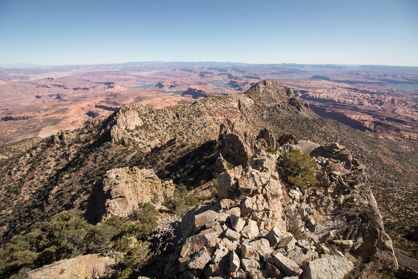
Mount Holmes summit, view south toward Lake Powell and Mount Ellsworth.
Mount Holmes summit, view east toward Lake Powell.
Wide shot of the summit area, east.
Close-up toward Lake Powell.
Hire me or show me some love!
Hire/refer me as a web developer or send me a few bucks if you find my site useful. I’m not sponsored, so all fees are out-of-pocket and my time preparing trip reports is unpaid. I really appreciate it!