

Entering Finger Rock Canyon, Mount Kimball visible center.
The mouth of Finger Rock Canyon.
Ascending through Finger Rock Canyon on a nice trail.
View back down toward the canyon mouth.
Higher up, view back.
The trail continues to ascend along the eastern slope of the canyon.
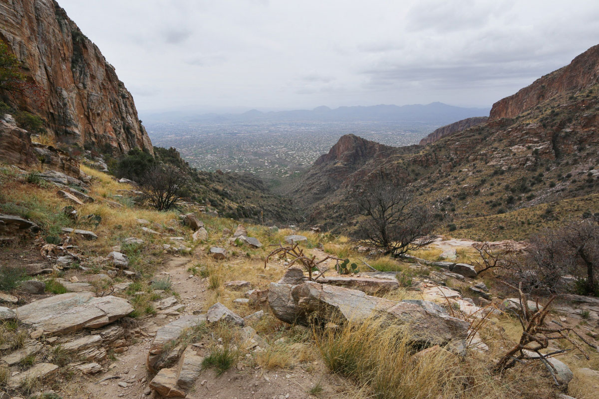
Another shot back down.
Along the eastern slope, view into the canyon.
The trail continues to ascend to the Pima Canyon Trail, lots of pretty rock outcropping popping up at the higher elevation.
Mount Kimball summit. Table Mountain seen to the west.
View northwest.
Mont Lemmon, Cathedral Rock, Window Peak.
Hire me or show me some love!
Hire/refer me as a web developer or send me a few bucks if you find my site useful. I’m not sponsored, so all fees are out-of-pocket and my time preparing trip reports is unpaid. I really appreciate it!