

Along the Rainbow Falls Trail.
Rainbow Falls.
Rainbow Falls is pretty. Past here the hike became a bit less crowded.
Ascending past Rainbow Falls on my way to Mount LeConte.
A pretty stream along the way.
Progress up to Mount LeConte.
Mossy, rocky tail at times.
As I gained elevation, the terrain changed. It was more lush and mossy and the trees became less deciduous-heavy.
Mount LeConte summit area.
Views from Mount LeConte.
Mount LeConte.
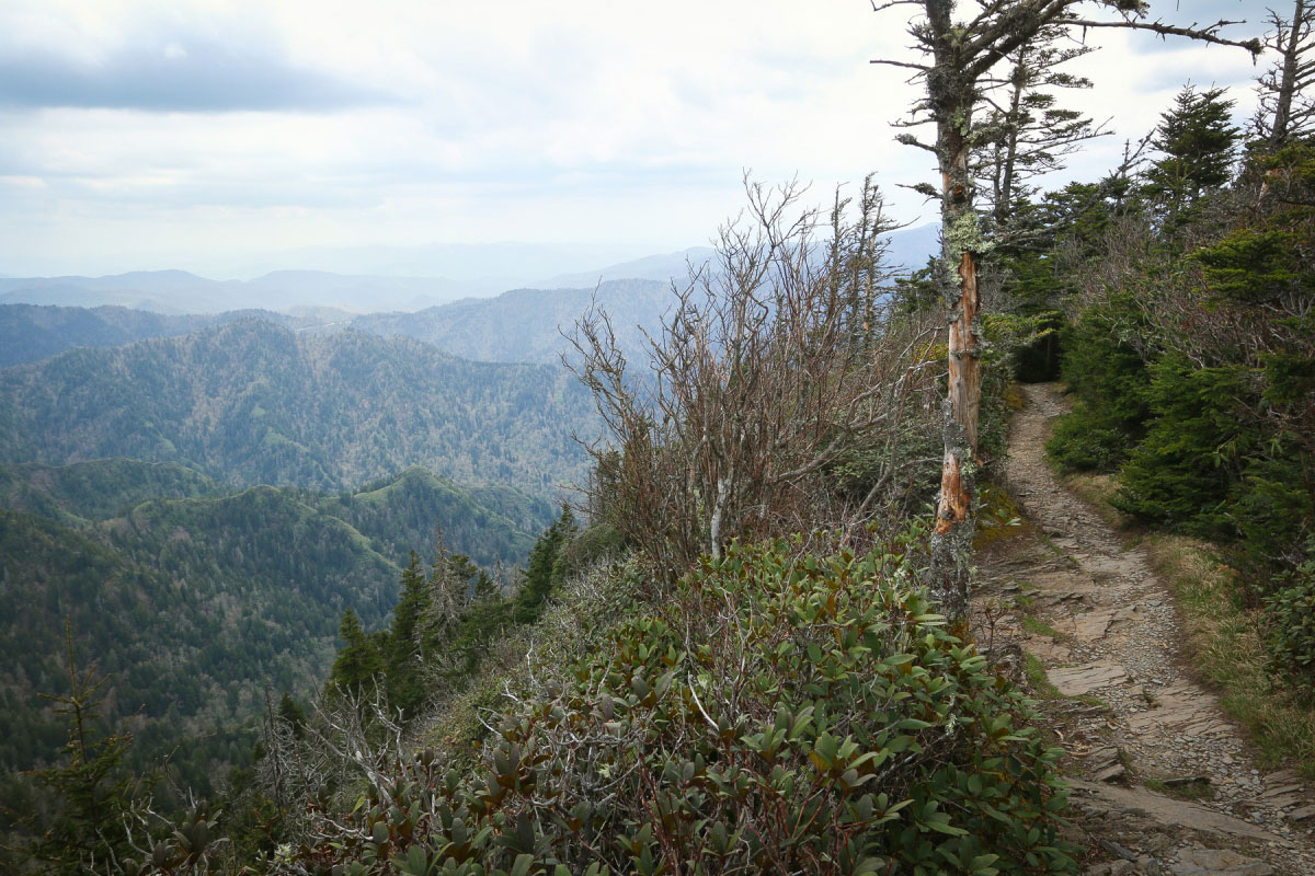
Along the Mount LeConte ridgeline.
Mount LeConte summit cairn.
Along the Bull Head Trail.
A switchback along the Bull Head Trail.
Bull Head Trail.
Descending along the Bull Head Trail.
A short walk along the Old Sugarlands Trail brought me back to the trailhead.
Hire me or show me some love!
Hire/refer me as a web developer or send me a few bucks if you find my site useful. I’m not sponsored, so all fees are out-of-pocket and my time preparing trip reports is unpaid. I really appreciate it!