

Starting from the wilderness sign. A better car could have made it farther.
Wooden human-made stuff by Indian Spring.
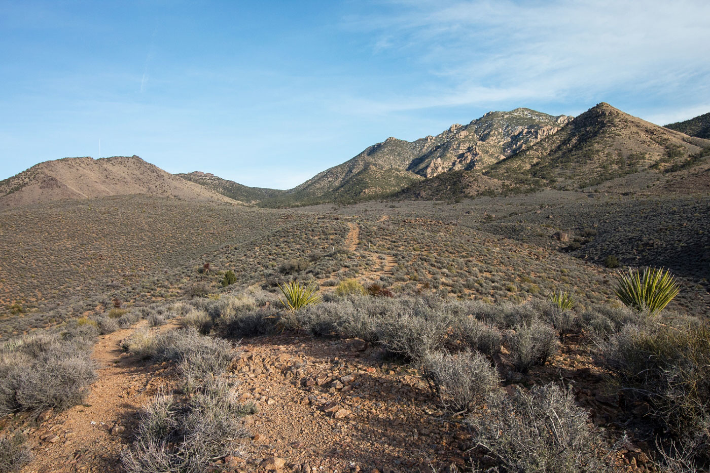
Road leading toward Mt. Tipton.
Leave the road once it curves north and continue heading east into the desert.
Enter a drainage and follow it until it ends.
Some Class 2 obstacles in the drainage.
I encountered snow, which was actually kind of nice.
Approaching the head of the drainage.
Saddle just west of Mt. Tipton. Head up its west slope.
Along the west slope of Mt. Tipton, looking back toward the saddle and the drainage I came up (right). This section is a bit steep and I wasn't sure the best route, but you can keep the moves to Class 2.
Somewhat brushy and aggravating ridgeline to multiple false summits.
Looking back down the ridgeline.
The ridgeline gets less brushy as you head to higher ground.
View looking back west along the ridgeline.
Lots of brush, not a ton of fun.
Mt. Tipton summit becomes visible eventually.
The brush clears and real trees appear.
Looking down the ridgeline after the brush clears.
Some snow for me as I neared the summit. The ridge veers south as you approach.
Views north just below the summit.
Class 2 rocks to gain Mt. Tipton summit.
Blocked views, but this is looking back north as I approach the summit.
Mt. Tipton summit, looking north.
Mt. Tipton summit, looking south.
Wider view of Mt. Tipton summit, looking south.
On the way back, a sunset view of Mt. Tipton.
Hire me or show me some love!
Hire/refer me as a web developer or send me a few bucks if you find my site useful. I’m not sponsored, so all fees are out-of-pocket and my time preparing trip reports is unpaid. I really appreciate it!