

Starting at First Creek Trailhead. Mount Wilson is visible left of center. I'll be headed into First Creek Canyon, far left in this photo.
Morning light as I head toward First Creek Canyon.
A fun little talus cave shortly after entering First Creek Canyon.
The canyon looks like this for a long time, providing lots of boulder obstacles as a trickling stream for most of the year.
Looking back toward the mouth of First Creek Canyon.
Typical obstacles to expect.
To the left is a cool-looking canyon with streaming waterfalls. To the right is the route to get to Mount Wilson.
A close-up of those fun waterfalls in the left fork of the canyon mentioned in the last photo.
A cool cascade, a nice relief from the canyon boulder-hopping. I'd call this section Class 2+ since it's a bit slippery and feels a little exposed. Crab crawling down should do the trick.
Continuing up First Creek Canyon on many pretty slickrock waterfall features.
Almost out of the canyon, looking back down First Creek Canyon.
Looking down into the First Creek Canyon after exiting and heading up to Mount Wilson. You can see the abrupt transition from sandstone to limestone, known as the Keystone Thrust. The social trail led me out of First Creek Canyon in the center and up to the west ridge of Mount Wilson.
Looking northwest toward Mt. Charleston (snow-covered). You can see how abruptly the sandstone changes to pine-covered ground to the left.
Along the west ridge of Mount Wilson. After some easy walking, the route becomes Class 2 sandstone.
Looking south back toward First Creek Canyon.
Another neat water trickle on my way up.
The route leads along the slickrock and cairns point through this corridor.
View back into First Creek Canyon.
False summit of Mount Wilson.
View toward Mount Wilson - South Summit.
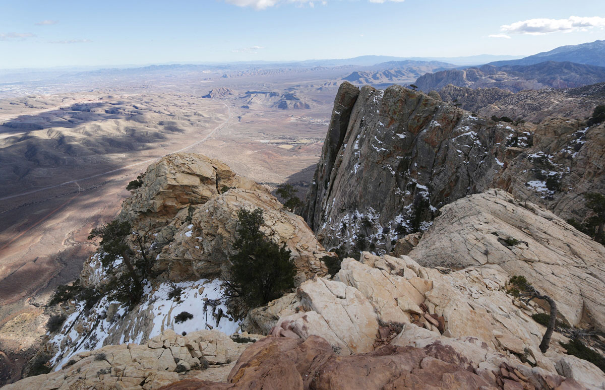
Las Vegas pictured clearly in the background.
From the summit of Mount Wilson, view south.
Mount Wilson summit, view north.
Hire me or show me some love!
Hire/refer me as a web developer or send me a few bucks if you find my site useful. I’m not sponsored, so all fees are out-of-pocket and my time preparing trip reports is unpaid. I really appreciate it!