

Starting down Muddy Creek.
Miners cabin.
We took social trails on either side of Muddy Creek, crossing it occasionally.
The weakness in the cliffs used to ascend out of Muddy Creek is ahead on the right.
Starting up the ramp to gain the ascent route.
Above Muddy Creek on natural ledges.
Scariest-looking petroglyphs ever along the way.
View south into Muddy Creek.
We followed this major ledge as it hugged the cliffs on the left.
View down Muddy Creek.
View back, still hugging the cliff face more or less.
Eventually after wrapping around the cliff face, the landscape opened up and we descended into The Squeeze, visible center.
Drainage leading into The Squeeze.
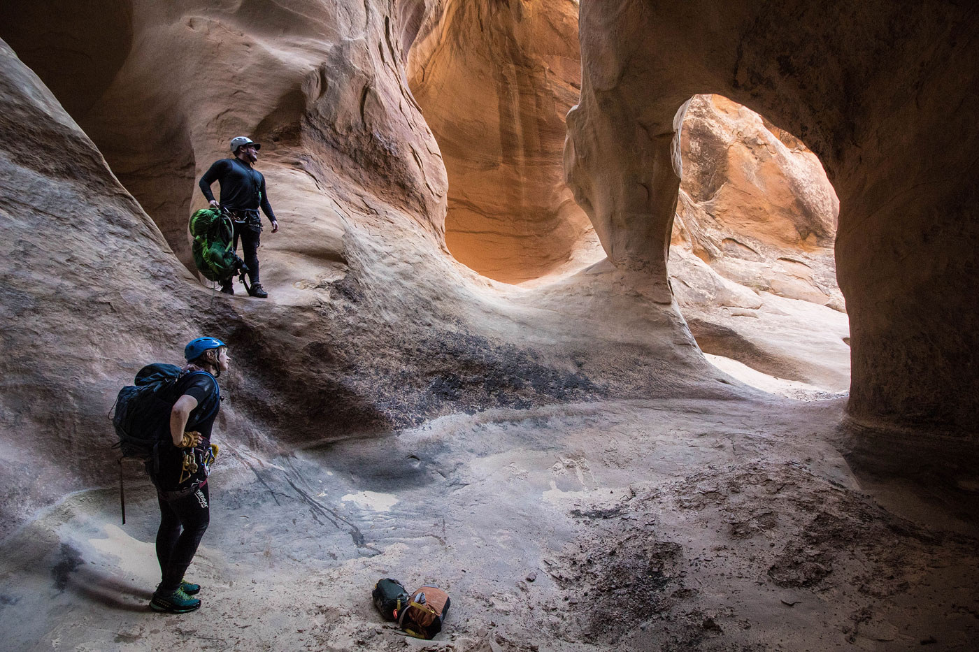
The Squeeze was great from the start, lots of pretty features.
One of the keepers. Madeline set up a handline for the fun of it.
Another keeper.
The big keeper.
View from within the big keeper.
Lots more fun obstacles.
The Squeeze opens up, but it's not done.
More fun obstacles before the final rappel.
Last rappel into a mossy grotto.
View back toward the final rappel.
Heading north back up Muddy Creek. It felt like a long hike back for some reason.
Hire me or show me some love!
Hire/refer me as a web developer or send me a few bucks if you find my site useful. I’m not sponsored, so all fees are out-of-pocket and my time preparing trip reports is unpaid. I really appreciate it!