

Headed along the road toward Muddy Knife, ahead.
Muddy Knife ahead, the colors of Buffington Pocket visible on the left.
We left the road for a drainage on the right, Muddy Knife visible ahead.
We left the drainage and ascended this rocky gully. View looking back toward the drainage. You can also see the ridge we'd be descending later from Colorock Peak above.
Ascending the gully to the base of Muddy Knife's cliffs.
View down the gully as we start the fun scrambling.
More Class 2/3 scrambling coming up.
View down at a limestone Class 2+ move, just below reaching the summit block of Muddy Knife.
Muddy Knife summit block ahead. Our route follows the base of the cliffs.
Following the base of the cliffs to the end, where we'd access the ridge crest.
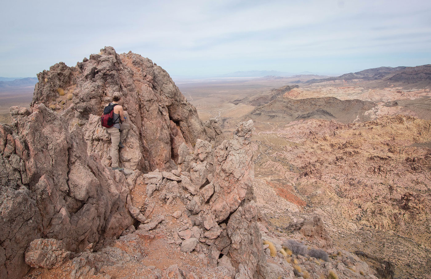
Kailey decided to take the sketchier knife edge route.
Class 3 wrap-around move. Avoidable via a less-exposed Class 3 short headwall not pictured below.
Kailey on the knife-edge. I opted to take the Class 2 slope/ramp on the left.
Summit of Muddy Knife, view back along the knife edge.
Muddy Knife summit, view north.
Kailey descending the Class 2 slope/ramp. Colorock Peak visible top right, Muddy Mountains top left.
Close-up of the ridgeline we'd take to Colorock Peak.
To get down to the ridgeline, we had to descend this loose Class 2+ weakness.
Heading up to Colorock Peak.
View back toward Muddy Knife (top right).
Close-up into the colorful Buffington Pocket sandstone, Muddy Mountains in the distance.
View back along the ridge as we ascend to Colorock Peak.
Colorock Peak ahead.
Nice views along the ridgeline.
Cliffs ahead that look like they may cause some hassle.
Nope, Class 2 chute leads up through the cliff.
Colorock Peak, view north.
Class 2 descent from Colorock Peak.
View back up toward Colorock Peak.
A Class 2 rock outcrop obstacle along the way down.
Close-up toward Muddy Knife as we descend from Colorock Peak.
View back along the ridge we descended (right), Muddy Knife visible on the left
The descent ends on easy terrain back to the car.
Hire me or show me some love!
Hire/refer me as a web developer or send me a few bucks if you find my site useful. I’m not sponsored, so all fees are out-of-pocket and my time preparing trip reports is unpaid. I really appreciate it!