

Starting from the Timpooneke trailhead, follow the campground road for a while, great views of North Timpanogos.
Gain the ridge, Bear Canyon Trail, and follow it until it leaves the ridge.
Once the Bear Canyon Trail leaves the ridge, continue along the ridge. There is enough of a trail along the ridge to make you feel you're going the right way. If you lose the trail, you'll probably stumble across it again if you stay near the cliff.
Sort of visible trail the whole way through the bushwhack.
The ridge crosses timberline and then it's really easy to stay on the route, even if you lose the trail. You can see North Timp peeking out on the top right.
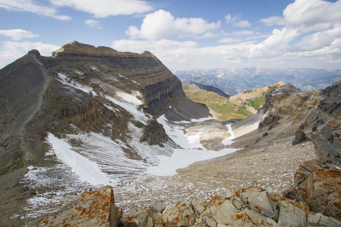
Looking back along the ridge.
North Timp ahead!
The route up North Timpanogos is unclear, but in general stick to this ridge until it hits the mountain and then stay right. I saw a single cairn leading around a ledge. It was a bit scary because of the loose scree and chance for a fatal fall, so I instead did some nonsense Class 4 up the face.
The ledge the cairn led to - it gets more precarious as you go. So I didn't go that way.
My scramble choice.
It got rough, but doable. Just make sure to keep heading east around North Timpanogos or you'll just keep scrambling higher and never get to the ridge.
Sketchiest part of my scramble.
Gained the Northeast Ridge of North Timpanogos!
Still lots of Class 2 to go.
Only a couple sections of potentially Class 3. Choose your own adventure.
Looking down after the roughest part of the scramble.
On the false summit, looking toward North Timpanogos.
North Timpanogos sumit, looking toward Timp and South Timp.
Looking back toward North Timpanogos along the ridge.
Mountain goats along the way.
Looking back along the traverse after finding a faint trail that ultimately led to the Timpooneke Trail.
Timpooneke Trail just ahead. You can see little people just below the ridge.
Looking back along the Timpooneke Trail.
A section of tight switchbacks.
Mt. Timpanogos ahead.
Almost to the Mt. Timpanogos summit, looking along the ridge, Timpanogos Basin on the right.
Mt. Timpanogos summit shelter.
South Timpanogos ahead.
Easy trail from Mt. Timp to the saddle of South Timp.
Looking back toward Mt. Timp.
South Timpanogos ahead.
At the saddle of North Timp.
The saddle is where I ended up sliding down later to access Emerald Lake. Mt. Timp on the left somewhere, North Timp on the right, not pictured.
Headed up the worn-down scree to the summit of south Timp.
Looking down at the Class 2 scramble, Utah Lake in the distance.
Looking back from the South Timpanogos summit.
Summit view of South Timpanogos looking south.
Back at the saddle, headed down a steep slope to Emerald Lake.
Looking up at the saddle from the bottom.
Emerald Lake, Roberts Horn behind it.
Emerald Lake and the snow field I came down.
A shelter, South Timpanogos behind it. Now on an official trail.
Look how tiny that shelter is compared to South Timp.
Continuing along the trail to meet up with the Timpooneke Trail. Entering the Timpanogos Basin.
Looking back from within Timpanogos Basin up toward South Timpanogos.
Looking back toward Mt. Timpanogos, almost out of the Timpanogos Basin.
On the way down, North Timp at the top left far away.
More mountain goats!
Looking back at the spillout from Timpanogos Basin.
Tiny excursion to Scout Falls a mile or so from the trailhead.
Hire me or show me some love!
Hire/refer me as a web developer or send me a few bucks if you find my site useful. I’m not sponsored, so all fees are out-of-pocket and my time preparing trip reports is unpaid. I really appreciate it!