

The road continues past a wilderness marker, but please don't drive. Just hike.
At the end of the road, I entered a rocky drainage, following it only a short time before leaving it for a slope on the left.
Easy slope walk with some light Class 2.
View back down the slope. Wah Wah Mountains (southern ones) visible center. The end of the road is in the center of this photo. My car is parked somewhere within the trees in the center farther back.
Ascending the slope toward the rocky jumble of cliffs that comprise the south face of North Wah Wah Mountains High Point. It might be tempting to head to the most prominent-looking diagonal-looking gully in the center, but I don't know if that route would work. The gully I took is to the left of this diagonal.
Ascending to the gully visible just left of center of this photo.
The slope gets progressively more steep.
View back down as I ascend the steep slope.
The slope sort of naturally brought me toward the gully, visible center.
Class 2/2+ up the steep, loose gully.
View back down the gully.
Last push of brush and boulders to get to the top of the gully.
View back down the gully.
Close-up of the gully from the top.
I headed north along the ridge to get to the high point (top right out of frame). This is a view along the ridge as I ascend.
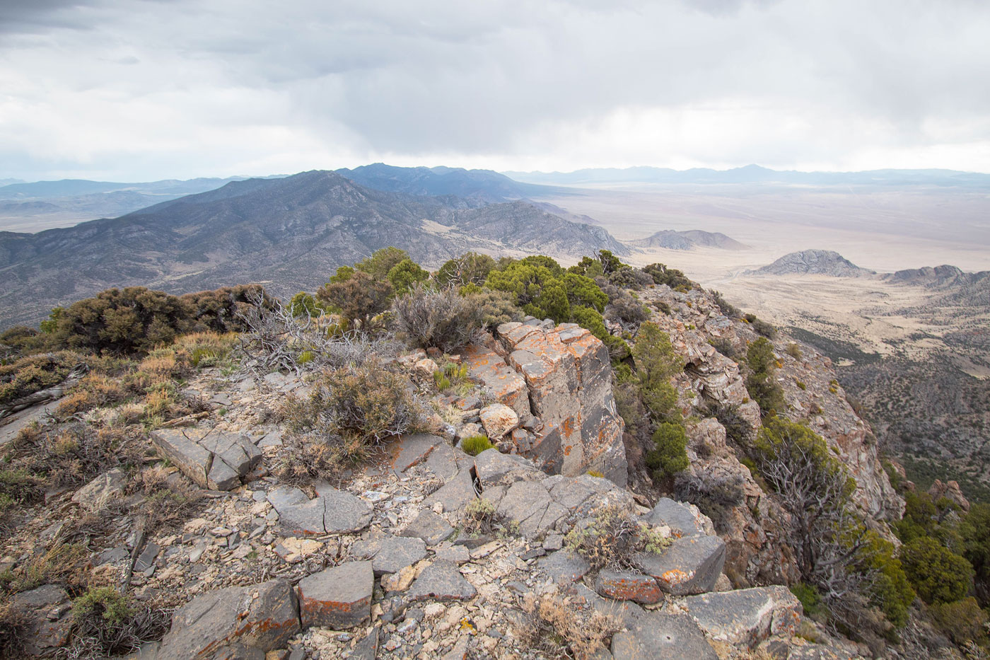
View back along the rim. Wah Wah Mountains visible in the distance.
Lightly forested ridgeline to the high point.
North Wah Wah Mountains High Point summit, view south.
Hire me or show me some love!
Hire/refer me as a web developer or send me a few bucks if you find my site useful. I’m not sponsored, so all fees are out-of-pocket and my time preparing trip reports is unpaid. I really appreciate it!