

Heading down our chosen drainage, the southern end of Old Dad's ridge visible ahead.
Now within the main wash on the east side of Old Dad Mountain. The peak is visible ahead.
We headed up this minor drainage on the left.
View back as we ascend the drainage.
Class 2/2+.
View back as we scramble up, plenty of cairns along the way.
Navigating the rugged Class 2 face.
View looking back toward the wash we walked up.
Close-up of Whiley on a section of Class 2.
Lots more limestone to come.
A section of horizontal traversing to avoid some rougher-looking cliffs.
Starting up the crux of the hike, a series of Class 2+ moves.
A small notch that is easy to miss on the way back.
More fun scrambling to just below the summit.
Last few hundred feet to the summit of Old Dad offers lots of options. Just remember the route you came up as not to get lost on the descent.
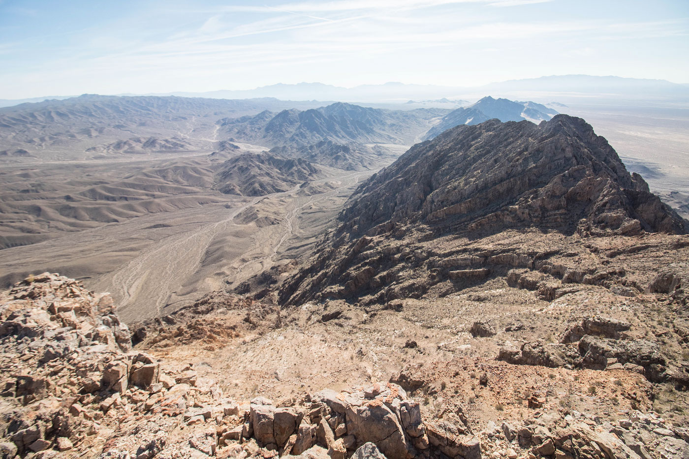
Old Dad Mountain summit, view south.
Old Dad Mountain summit, view north.
Hire me or show me some love!
Hire/refer me as a web developer or send me a few bucks if you find my site useful. I’m not sponsored, so all fees are out-of-pocket and my time preparing trip reports is unpaid. I really appreciate it!