

Past the wilderness boundary along a mining road.
Some old Florence Mine mining stuff. There's a little rock house visible center far left in this photo.
Continuing along the mining road.
At the Florence Mine, view back toward the mining road we ascended.
Just above Florence Mine, heading up the gully to the south. We mostly stuck to the left side of the drainage, where we found social trails and less brush.
View back down the gully as we ascend on Class 2 boulders.
Reaching the top of the gully and slope, which brought us to a ridge above.
View back into the gully (left).
Top of the gully/slope. We continued along the ridge for a short time. Old Woman Mountain is visible center.
Class 2 up the ridge, the gully we ascended from visible on the left in this photo.
Old Woman Mountain ahead. We headed for the saddle above TJ's head in this photo. The side-hilling to reach the saddle was totally reasonable.
View back as we side-hilled to the saddle.
At the saddle, view south toward Old Woman Mountain.
View back toward the saddle (left), and the side-hill section from the ridge on the right.
Old Woman Mountain ahead.
Class 2 to the summit.
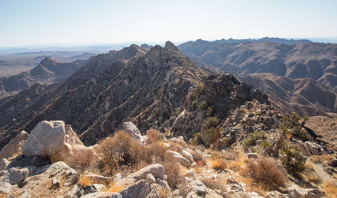
Easy terrain most of the way along the ridge.
Old Woman Mountain.
Old Woman Mountain, view north.
Old Woman Mountain, view east.
Hire me or show me some love!
Hire/refer me as a web developer or send me a few bucks if you find my site useful. I’m not sponsored, so all fees are out-of-pocket and my time preparing trip reports is unpaid. I really appreciate it!