I provide a free route map, but you can also download a hike/drive GPX to assist you and to help support my site. Before sharing my GPX tracks with others, please remember my site is a free resource and I'm charging nominal fees to offset my substantial costs.
GPX track added to your cart.
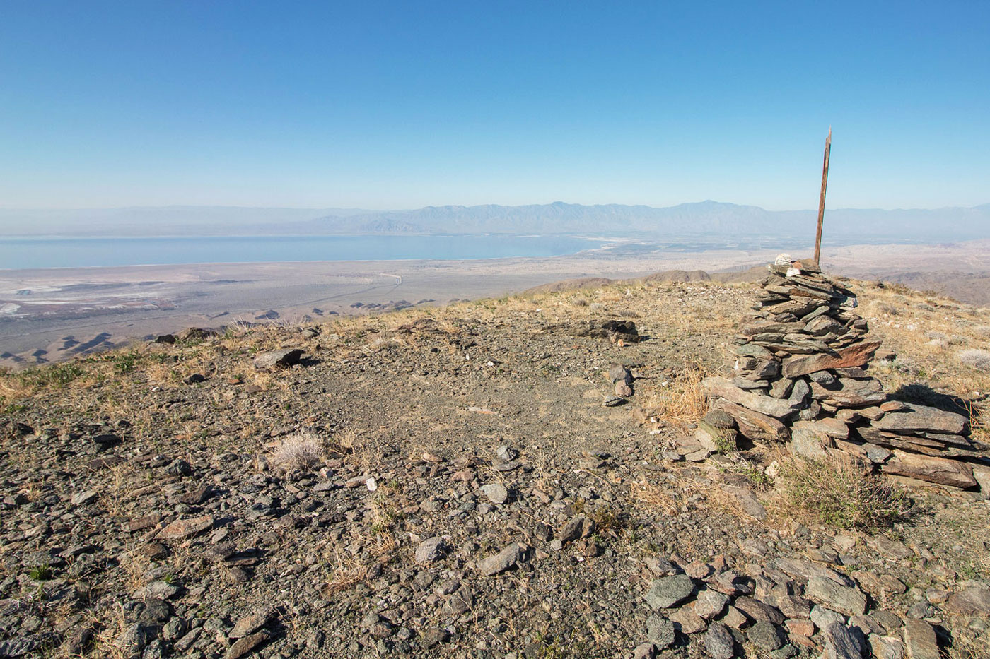
Feb 19, 2020 — A sandy road not suitable without AWD led us to a very steep hill, preventing us from driving the remaining half mile to the trailhead. We followed the road by foot instead, which continued past a wilderness boundary sign. The road slowly deteriorated as it navigated the Orocopia Mountains High Point foothills. A small cairn (that we improved on) marked a spot to leave the very old road on the right, and a well-beaten social trail led south up a slope. The trail became slightly less obvious at some points as we progressed. A series of ups and downs along the slopes brought us to the summit stretch, where we encountered a teeny bit of rockiness, but not enough to even call it Class 2. The views south toward the Salton Sea were nice. The return was a little more difficult because all the hills kind of look the same and Whiley and I got a little confused, so try to take note of the hills you're coming up rather than mindlessly following the social trail like we did.
Please consider helping me out if you find my site useful. I'm not sponsored, so all site fees are out-of-pocket and my time preparing these trip reports is unpaid. You can also hire me as a web developer. I really appreciate it!


If you find my site helpful, please help me replace my many broken cameras, fund my website fees (hosting, APIs, security), or just support my countless hours of work. I pay for all expenses myself, and all trip reports I post are unpaid and unsponsored, so any support is really appreciated!
If using PayPal, please select their option for "Sending to a friend" so they don't take out fees, thank you.
My site is free to use, but consider sending me a few bucks to help keep it running. Thanks in advance!