

Hiking along an old road to the base of Pahrump Point.
Nearing the end of the dirt road, where we headed into the canyon ahead.
Class 2 for a while within the canyon.
View back at our progress up the canyon, quite rocky.
Class 2/2+ obstacles as we ascended. Ahead you can see a split in the canyon, where we kept to the right.
Pahrump Point is somewhat visible on the top left of this photo.
After leaving the drainage, we ascended the steep slope to the southwest ridge of Pahrump Point.
Class 2 up the slope.
Along the southwest ridge, Pahrump Point is visible center.
View back down the ridge. We ascended from the right in this photo.
Keeping left around some rock outcrops as we make our way to the base of the sheer cliff ahead, the base of Pahrump Point.
View back along the ridge as we side-hill around some rock outcrops.
At the base of the sheer cliff, we ascended this gully.
Just past the gully, fun Class 2/2+ leads to the summit, visible ahead.
On the final ridge to Pahrump Point.
Almost at the summit, view east.
Pahrump Point summit ahead.
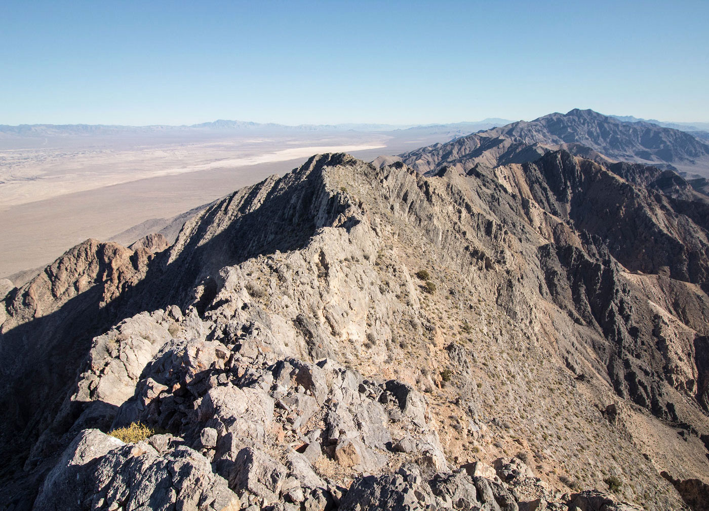
Pahrump Point, view west toward Rumppah Point and the Resting Spring Range behind it.
Hire me or show me some love!
Hire/refer me as a web developer or send me a few bucks if you find my site useful. I’m not sponsored, so all fees are out-of-pocket and my time preparing trip reports is unpaid. I really appreciate it!