

I parked at this destroyed fence since past here the road got quite narrow.
Definitely some pinstriping if you choose to drive to Blue Rock Spring.
Blue Rock Spring, the drainage hugged by rocky outcroppings. I passed over the drainage on the left and ascended.
Class 2 up solid rock.
View down toward Blue Rock Spring (center).
Side-hill traverse to get to the ridge crest.
Along the ridge crest. I'm first heading up to the big lump on the right.
It's a bit brushy, but look for animal trails.
View back. The side-hill I did a bit ago to gain the crest is on the little hump on the left.
Approaching the base of the first lump.
Starting up the first lump.
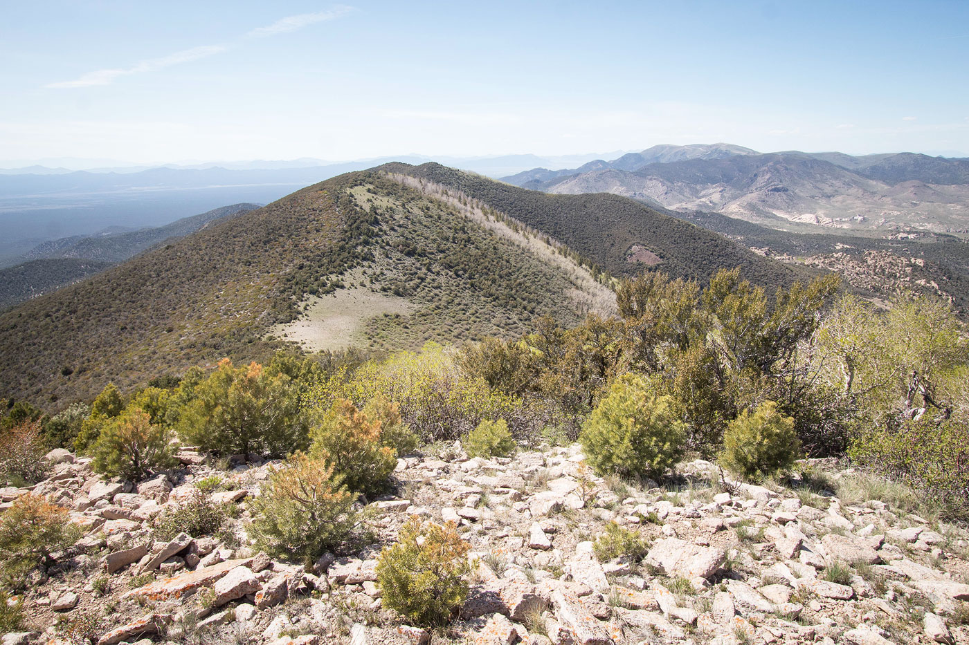
View back along the ridge crest.
More brush, and it's a bit steep up to the first lump.
View back at my progress along the crest.
A nice clearing for the last bit to the top of the first lump.
It's kinda pretty if you can ignore the brush.
Nice and clear for the last bit to the top of the first lump.
View back as I near the top of the first lump. Mount Wilson (the high point of the range) is visible top right.
Top of the first lump. You can see the second lump and Parsnip Peak in the distance on the right.
View back along the extended top of the first lump.
On my way down from the first lump, view toward the second lump. As you can see, the right (south) side is significantly more brushy than the crest or the left (north) side.
Bah, brush. Making my way up to the second lump.
View back toward the first lump as I near the top of the second lump.
Top of the second lump.
View toward Parsnip Peak from the second lump.
The final ascent to Parsnip Peak.
On my way up to the summit, view back at the second lump.
Light Class 2 to the summit.
Parsnip Peak summit, view east.
Parsnip Peak summit, view west, back the way I came.
Hire me or show me some love!
Hire/refer me as a web developer or send me a few bucks if you find my site useful. I’m not sponsored, so all fees are out-of-pocket and my time preparing trip reports is unpaid. I really appreciate it!