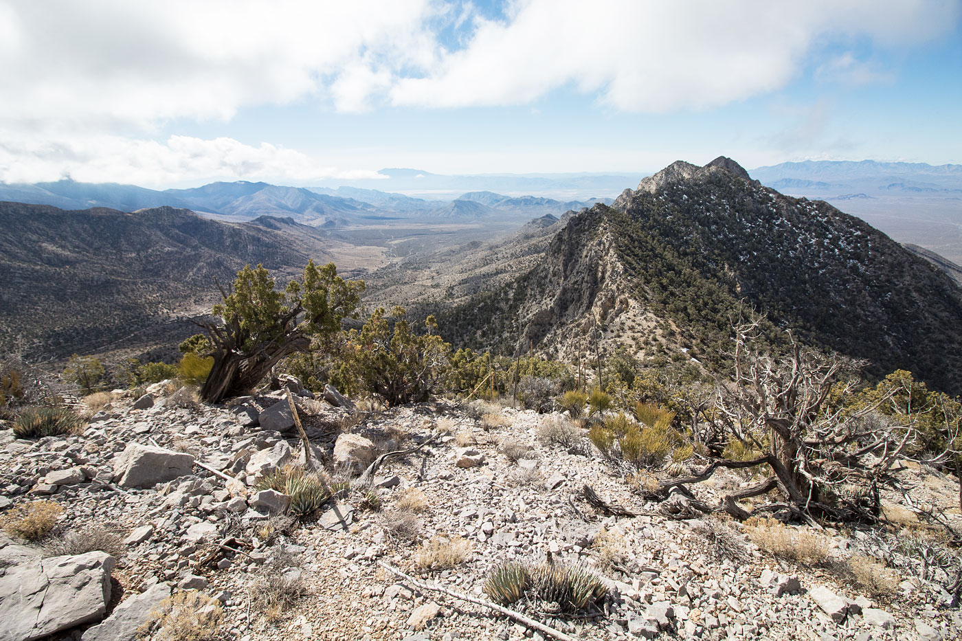
Mar 04, 2019 — Hike up a derelict dirt road until it ends, then head right up a slope and follow it toward a weakness in the cliff bands above. It becomes more clear the clsoer you get, and doesn't exceed Class 2. Take a right, pass over the false summit, and get nice views of Potosi Mountain and the backside of Red Rocks. Head along the ridge (Class 2) to the base of the slightly lower, but more interesting, Bluebird Peak. The exposed direct east ridge becomes Class 4, but I found a Class 2+ route on the southeast face that follows a ledge, avoiding the sketchy-looking ridge. It's a little exposed and has some loose rock, but there isn't any climbing involved. Head back down the way you came. Alternatively (pictured on map), you might miss the ledge system you came in on as I did and go too low. With a few short Class 3 moves, you could descend an unlikely route by accident and head back a different way (this alternate descent is not included in stats listed for this hike).
Please consider helping me out if you find my site useful. I'm not sponsored, so all site fees are out-of-pocket and my time preparing these trip reports is unpaid. You can also hire me as a web developer. I really appreciate it!


If you find my site helpful, please help me replace my many broken cameras, fund my website fees (hosting, APIs, security), or just support my countless hours of work. I pay for all expenses myself, and all trip reports I post are unpaid and unsponsored, so any support is really appreciated!
If using PayPal, please select their option for "Sending to a friend" so they don't take out fees, thank you.
My site is free to use, but consider sending me a few bucks to help keep it running. Thanks in advance!