

Along the 4WD road. Peacock Peak visible ahead, center.
View back along the rougher road. Kingman, AZ is out there on the left somewhere.
At the end of the road, a social trail begins up the ridge. Peacock Peak visible poking out on the left.
At the top of a minor hump a few hundred feet after starting. Ahead is another hump with some minor Class 2. As you can see the terrain isn't particularly pleasant, but not all that bad.
View back toward the first little hump.
Ascending the slope to the hump.
Minor Class 2 toward the top of the hump.
A flattish section along the ridge before the steep ascent to the summit. Peacock Peak ahead.
Class 2 granite hopping and light bushwhacking.
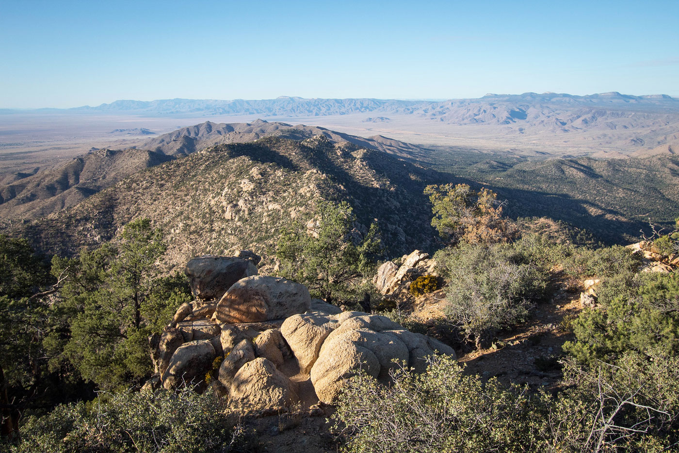
View back toward the hump along the ridgeline.
Peacock Peak, a significant slope away. Most of the brush is easily avoidable.
View back at my progress up the slope.
Sandy, steep section.
View back again at my progress along the ridge.
Along the ridge crest the granite and brush is a bit more burly. You might want to stick just to the right of the crest to avoid the worst of it.
One of many similar obstacles. Just hopping over rocks to avoid brush.
More granite along the ridge crest.
At the top of the ridge, a false summit. The summit is just ahead, though.
Close-up down at the ridge I just ascended.
A short spine of granite to reach the true summit, seen left.
Peacock Peak summit, view south.
View north.
Close-up south toward the Hualapai Mountains.
Hire me or show me some love!
Hire/refer me as a web developer or send me a few bucks if you find my site useful. I’m not sponsored, so all fees are out-of-pocket and my time preparing trip reports is unpaid. I really appreciate it!