

After leaving the road, we headed through the wash, only some minor brush. Our goal was to get to the left of the large cliff in the center of this photo.
Some nice slickrock features within the wash.
More pretty slickrock.
Eventually we decided the wash was starting to become more tedious to stay within (brush), and headed out onto the slopes above.
Continuing west up the slopes, our goal being to end up just left of the cliff visible top right.
Looking back into the wash we ascended from.
Approaching the cliff, where a slopey ledge wrapped us around and onto the safer ground above. The ledge can be seen in the center of this photo. Staying too far to the left seemed like it could result in bumping into cliffs or other difficult terrain. The slopey ledge was nice.
Wrapping around the slopey ledge.
Looking back as we get to the ridge.
Class 2 along the ridge. We stayed away from the crest for the first half since it was cliffy and rocky and added serious obstacles that are easily avoided by just keeping to the left of the crest.
Peak 2840 ahead.
Looking back along the ridge. I recommend getting to the crest in order to look over the rim once you're about halfway along the ridgeline to the summit.
Peak 2840 ahead.
Amazing cliff.
Looking back.
Peak 2840, view northwest.
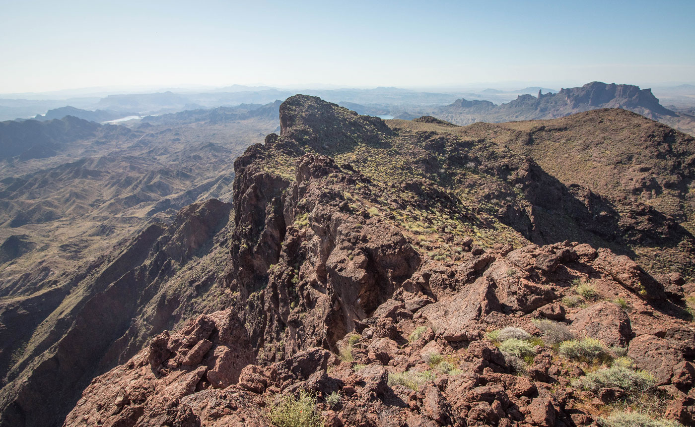
Peak 2840, view southeast, along the ridge we ascended.
Whipple Mountains High Point in the distance. Cupcake Mountain on the left. Whipple Wash left of center.
Hire me or show me some love!
Hire/refer me as a web developer or send me a few bucks if you find my site useful. I’m not sponsored, so all fees are out-of-pocket and my time preparing trip reports is unpaid. I really appreciate it!