

Starting at the popular Y Mountain Trailhead.
Gravel road to the top of the "Y".
The big white "Y" ahead.
Leaving the "Y" trail to head up the Slide Canyon Trail.
The trail leads through a canyon.
Cascade Mountain on the right.
Cascade Mountain center right, Mt. Timpanogos center.
Provo Peak ahead. Just have to hike down to the road below, then start the peak.
After reaching the dirt road, Squaw Peak Road, follow a different dirt road as it takes you steeply up Provo Peak for a time.
A cairn on the right marks the Provo Peak Trail.
Looking back toward Maple Mountain (left back), Y Mountain (center back), and Squaw Mountain (right back).
This photo gives you an idea of how steep it gets.
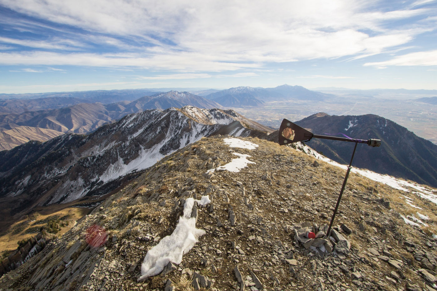
Approaching the summit.
Looking northeast, toward East Provo Peak (right) and Freedom Peak (left)
Hire me or show me some love!
Hire/refer me as a web developer or send me a few bucks if you find my site useful. I’m not sponsored, so all fees are out-of-pocket and my time preparing trip reports is unpaid. I really appreciate it!