

Starting up from the Linda Vista Trailhead.
A sign marking end of official trail.
Heading up a side canyon below Pusch Peak.
Looking back down toward the Linda Vista Trailhead.
Steep hiking the whole way up.
Looking back down the way I came.
Approaching the summit. You can see Bighorn Peak, Table Mountain, and Mt. Kimball in this photo. Also Mt. Lemmon in the distance.
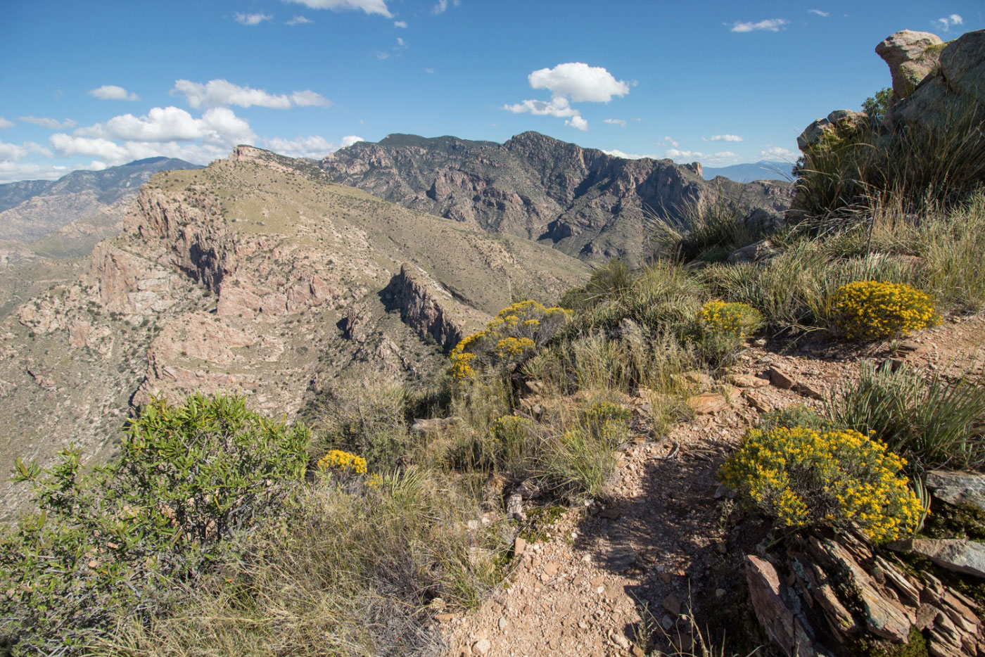
Close-up of the ridge from Pusch Peak to Bighorn and Table.
Pusch Peak summit looking north.
Hire me or show me some love!
Hire/refer me as a web developer or send me a few bucks if you find my site useful. I’m not sponsored, so all fees are out-of-pocket and my time preparing trip reports is unpaid. I really appreciate it!