

Ranger Peak Trailhead.
The thin Ranger Peak trail comes in on the right and leads through tall grasses.
On the sloped ridge, view south, so gorgeous.
Ascending along the slope.right.
Another shot back as I ascend on the Ranger Peak Trail. Portions of the lower section seemed like an old roadbed, while others were just a singletrack.
Ascending through the meadows.
Wildflowers and overgrowth.
A view back.
Cool rock formation seen ahead.
Another shot back at my progress through the meadow.
A fenceline. The trail doesn't reach it for a bit still.
View northeast along the trail.
A dip in the trail, crossing a small creek.
View back.
I passed under the fence here. There might have been an opening nearby, but I didn't look for it.
View back toward the fence.
More ascending through meadows.
A little higher up, looking back as the trail entered a section of the slope that was more brushy.
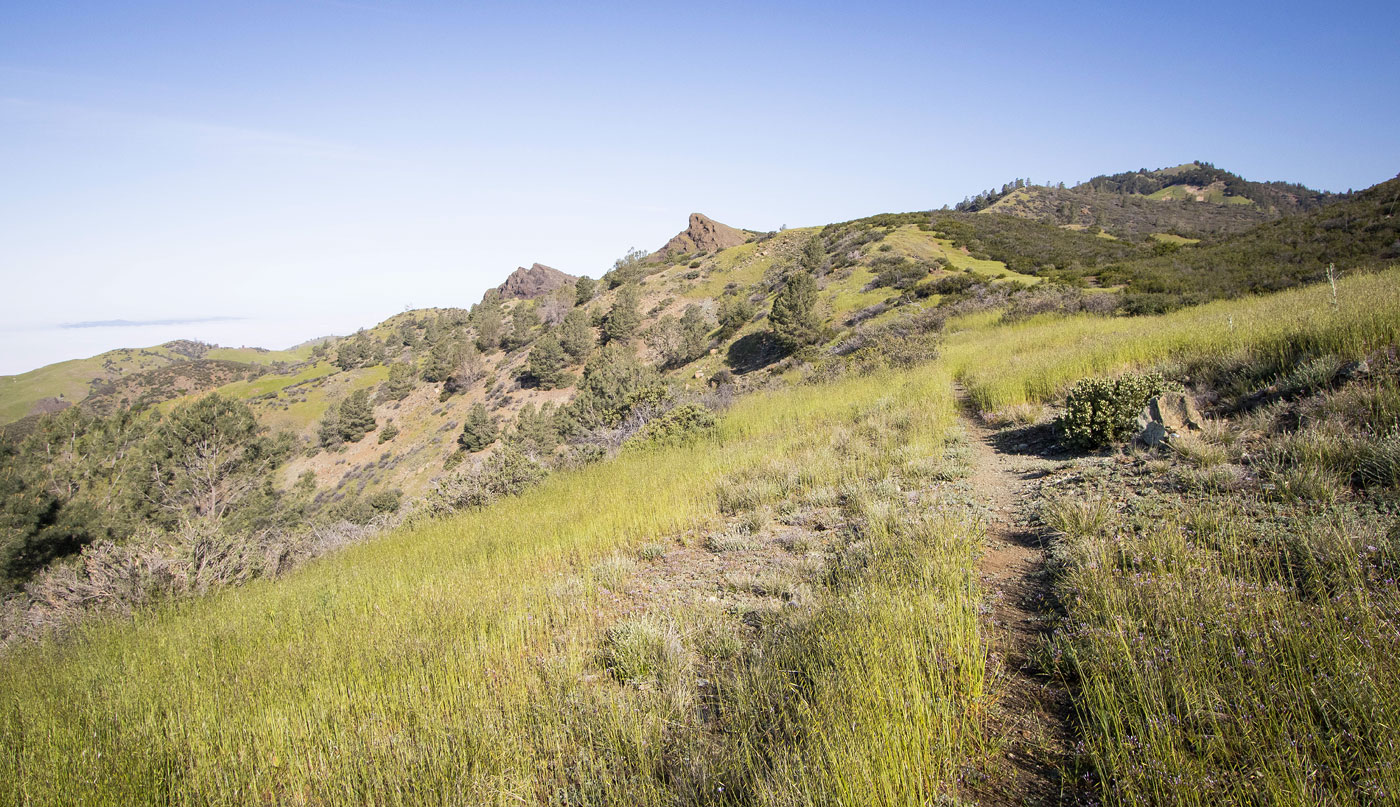
The trail became an obvious old road for a short time. Ranger Peak visible far top right.
Another shot back along the sloped ridge I've been ascending on.
An amazing view of a cool rock formation, the marine layer below.
Close-up, Ranger Peak seen top right.
A view back as I enter the next portion of this wonderland.
Looking back at a very cool rock outcropping overlooking Los Olivos.
Ranger Peak right, cool rock formation left.
Ascending through more meadow toward Ranger Peak.
View back toward the cool rock formation pictured earlier.
Wider shot back to the nutty cliff (left) and cool formation (right).
A steeper section.
View back.
Ranger Peak ahead.
Ranger Peak, covered in grasses and wildflowers.
I ascended along the trail to the peak's southern shoulder (seen left of center).
View back at the grassy ascent.
At the shoulder, heading up Ranger Peak's south slope on a thin social trail. The trail leads through some trees for a short time.
View back.
Almost at the summit of Ranger Peak.
Ranger Peak summit, view back along the sloped ridge I came up (left).
Ranger Peak summit, view toward Figueroa Mountain.
Ranger Peak summit, view east toward San Rafael Mountain in the distance.
Summit wildflowers.
Hire me or show me some love!
Hire/refer me as a web developer or send me a few bucks if you find my site useful. I’m not sponsored, so all fees are out-of-pocket and my time preparing trip reports is unpaid. I really appreciate it!