I provide a free route map, but you can also download a hike/drive GPX to assist you and to help support my site. Before sharing my GPX tracks with others, please remember my site is a free resource and I'm charging nominal fees to offset my substantial costs.
GPX track added to your cart.
Jun 18, 2021 — I recommend getting to the trailhead by driving into the old town of Cherry Creek and make a left here (39.9007, -114.88626), then keeping right here (39.82018, -114.94553). Google should have no problem navigating from there. The last few miles get difficult for low clearance due to a short, eroded section. The more common approach for this peak seems to be from the west, but I was content to stop driving and attempt a route from the south, and it wored great. I can't imagine any direction is more interesting than the way I came since the peak is mostly forested and the only significant views are from the summit.
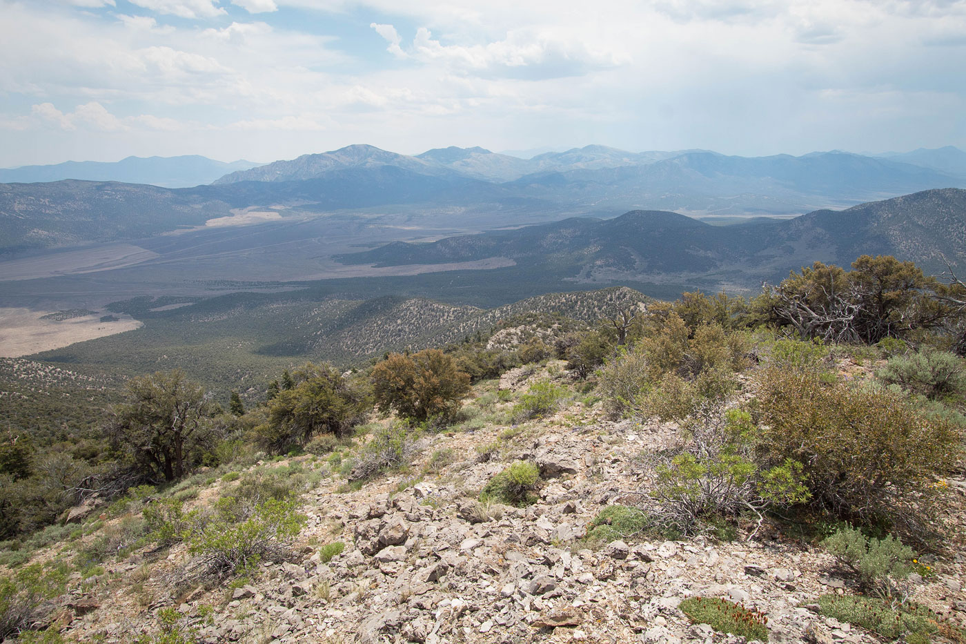
I headed up the major drainage on Ray Benchmark's south side, where I quickly picked up an animal trail that led me easily up the first half mile. At a junction in the drainage, I kept left where I was able to continue on the good animal trail. Along the way I passed the occasional old dam-like structure, rusty metal bucket, etc., so I assume at least the lower sections were used by ranchers for some purpose. Just past the junction the drainage started to get bushwhacky, so I recommend instead getting up to the right onto a thin ridgeline. I removed my drainage bushwhacking from my attached map, only keeping what I would recommend you do for the route. Once on this thin ridge, I just headed up, keeping to the crest for the most part. An occasional Class 2 minor limestone cliff band required either scrambling over it or keeping left/right to get around it. The terrain become a bit more steep as I made my way to the summit, and the views opened up briefly before some very light bushwhacking led to the summit.
Please consider helping me out if you find my site useful. I'm not sponsored, so all site fees are out-of-pocket and my time preparing these trip reports is unpaid. You can also hire me as a web developer. I really appreciate it!


If you find my site helpful, please help me replace my many broken cameras, fund my website fees (hosting, APIs, security), or just support my countless hours of work. I pay for all expenses myself, and all trip reports I post are unpaid and unsponsored, so any support is really appreciated!
If using PayPal, please select their option for "Sending to a friend" so they don't take out fees, thank you.
My site is free to use, but consider sending me a few bucks to help keep it running. Thanks in advance!