

After leaving the trailhead, a short section of burned forest. Buffalo Mountain visible top left.
A junction, keep straight.
The trail descends for a few hundred feet.
Descending down to the junction with the Gore Range Trail.
A section of swampiness that uses makeshift bridges. We got turned around a couple of times here because of multiple social trails, but just follow the bridges.
Junction with the Gore Range Trail.
Along the Gore Range Trail, Buffalo Mountian visible top left.
The Gore Range Trail continues through meadows and forest.
Looking back as we head through a meadow.
To the right of the sub-peak in the center is Red Buffalo Pass, a landmark for our route.
Looking back toward Buffalo Mountain.
The Gore Range Trail begins heading south, away from Red Peak.
Looking back toward Red Peak as we continue to an unnamed lake.
Continuing to the unnamed lake. The sub-peak ahead is what I mentioned in a previous photo. Red Buffalo Pass is out of frame on the right.
Looking back through the meadow, Red Peak top left, the valley the Gore Range Trail ascended on the right. Buffalo Mountain out of frame far right.
At the small unnamed lake. We left the Gore Range Trail and headed along the unlabeled Gore Creek Trail, which continued to Red Buffalo Pass (top left).
Along the Gore Creek Trail. Red Peak center.
Approaching Red Buffalo Pass, Buffalo Mountain top left and the unnamed lake out of sight center right.
From Red Buffalo Pass, heading north along the ridge to Red Peak.
Looking back toward Red Buffalo Pass, Deming Peak in the distance.
Grassy slope as we head up Red Peak.
Another shot looking back. You can see the unnamed lake we came from in the center.
Minor Class 2 as we ascend. The false summit of Red Peak is visible ahead.
More Class 2 as we ascend, avoiding some of the steepest talus.
View looking back.
Approaching the unavoidable Class 2 talus below Red Peak's false summit.
Scrambling up the talus, unnamed lake visible above Austin's head.
Approaching the false summit of Red Peak.
Continuing on Class 2/2+ along the ridge from the false summit to the saddle with Red Peak's true summie.
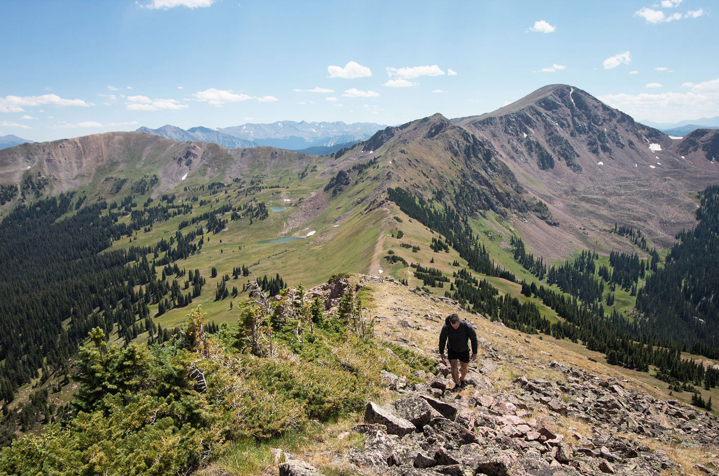
Looking back along the short Class 2+ ridge.
Final Class 2 push to Red Peak.
Red Peak summit, view northwest toward Mount Silverthorne.
Red Peak view east toward Dillon and Dillon Reservoir.
Back at the saddle of Red Peak and its false summit, we decided to head down the "standard" route up Red Peak to see what it was like. It started off quite steep and dirty. The route heads toward the grassy slope on the left, then curves to the right and descends on Class 2 grassy slopes/talus.
Looking back up at Red Peak.
Continuing down through a talus-filled basin. It was pretty, but felt pretty inefficient, and was certainly less fun than our ascent route.
View back toward the slope we descended (center). You can see our ascent ridge up top.
Continuing down through talus/grasses. Red Buffalo Pass is visible right of center.
The route continues into the trees and eventually joins back up with the Gore Range Trail.
Hire me or show me some love!
Hire/refer me as a web developer or send me a few bucks if you find my site useful. I’m not sponsored, so all fees are out-of-pocket and my time preparing trip reports is unpaid. I really appreciate it!